
What's inside: 10 resources. You get every file, and any updates the creator makes later.
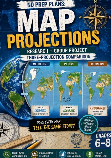 No Prep Plans: Map Projections Geography Project-Three-Projection ComparisonPDF, 14 pages
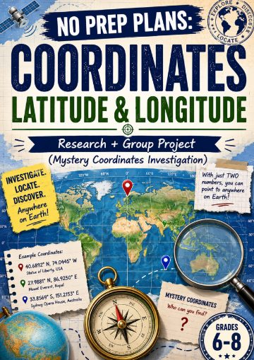 No Prep Plans: Coordinates – Latitude & LongitudePDF, 14 pages
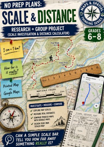 No Prep Plans: Scale & Distance-Scale Investigation & Distance CalculatorPDF, 14 pages
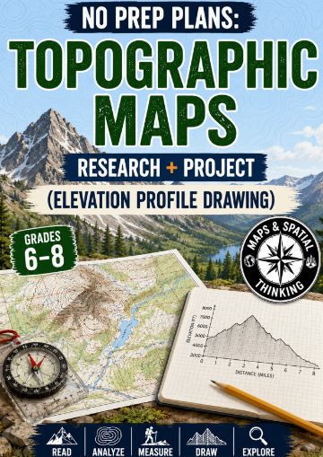 No Prep Plans: Topographic Maps-Elevation Profile DrawingPDF, 14 pages
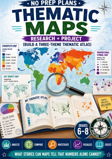 No Prep Plans: Thematic Maps-Build a Three-Theme Thematic AtlasPDF, 14 pages
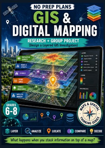 No Prep Plans: GIS & Digital Mapping (Design a Layered GIS Investigation)PDF, 14 pages
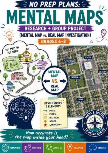 No Prep Plans: Mental Maps (Mental Map vs. Real Map Investigation)PDF, 14 pages
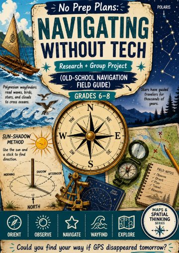 No Prep Plans: Navigating Without Tech (Old-School Navigation Field Guide)PDF, 14 pages
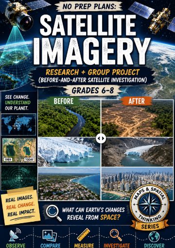 No Prep Plans: Satellite Imagery-(Before-and-After Satellite Investigation)PDF, 14 pages
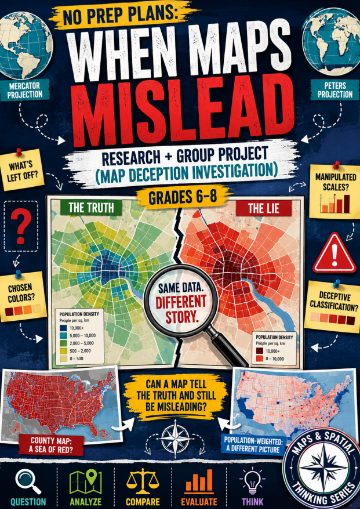 No Prep Plans: When Maps Mislead-(Map Deception Investigation)PDF, 14 pages
$27.00
Bought separately: $30.00
In your cart. View cart
No account needed. You get a download link.
| Grade | 6th Grade to 8th Grade |
|---|---|
| Resource type | Lesson Plans |
| Subject | History |
| Format | Bundle of 10 resources |
| How was this made? | Created by hand, with images from generation tools |
| Updated | 2026-10-26 |
No Prep Plans | Maps & Spatial Thinking Bundle | HASS Aligned | 10 Lessons
No Prep Plans: Maps & Spatial Thinking Bundle
10 Research + Group ProjectsGrades 6–8
Help students think like geographers, explorers, investigators, and critical consumers of information with this engaging collection of 10 Maps & Spatial Thinking projects. Designed for middle school learners, this bundle goes beyond basic map-reading skills and challenges students to analyze patterns, interpret geographic data, investigate real-world issues, evaluate evidence, and create meaningful map-based projects.
Throughout the bundle, students explore how maps help us understand the world, how geographic information is collected and displayed, and how spatial thinking influences decision-making every day. From finding locations using coordinates to interpreting satellite imagery and evaluating misleading maps, students develop a deeper understanding of geography through inquiry, research, and hands-on investigation.
Each lesson follows a consistent research + group project format and includes ready-to-use teacher directions, student planning pages, project worksheets, and reflection activities designed to promote collaboration, critical thinking, communication, and geographic reasoning.
Included Lessons
✔ Map Projections — Projection Comparison Investigation
✔ Coordinates: Latitude & Longitude — Global Coordinate Challenge
✔ Scale & Distance — Distance Detective Investigation
✔ Topographic Maps — Landform & Elevation Investigation
✔ Thematic Maps — Three-Theme Thematic Atlas
✔ GIS & Digital Mapping — Layered GIS Investigation
✔ Mental Maps — Mental Map vs. Real Map Investigation
✔ Navigating Without Tech — Old-School Navigation Field Guide
✔ Satellite Imagery — Before-and-After Satellite Investigation
✔ When Maps Mislead — Map Deception Investigation
What's Included
✔ 10 Complete Research + Group Projects
✔ Teacher Direction Pages
✔ Student Research & Planning Pages
✔ Student Project Pages
✔ Reflection & Analysis Activities
✔ Color Versions
✔ Black & White Versions
✔ Online Resources Pages
Why Teachers Love This Bundle
⭐ Requires minimal preparation
⭐ Encourages inquiry-based learning
⭐ Develops geographic literacy and spatial-thinking skills
⭐ Promotes collaboration, discussion, and problem solving
⭐ Connects geography to real-world applications
⭐ Builds map-reading, analysis, and interpretation skills
⭐ Supports project-based learning and student creativity
⭐ Flexible for whole-class, partner, or small-group activities
⭐ Includes engaging investigations rather than simple worksheets
⭐ Provides meaningful practice with geographic reasoning and evidence
Perfect for Geography, Social Studies, Humanities, STEM, enrichment programs, project-based learning, and Maps & Spatial Thinking units.
Students finish this bundle with a stronger understanding of how maps are created, interpreted, analyzed, and used to understand the world around them. Through research, investigation, and project creation, they develop the spatial-thinking skills needed to navigate an increasingly interconnected and data-rich world.
·
Questions
No questions yet.
Ask a question
Your question goes to No Prep Plans. Answers show on this page, without your name or email.
Sent. The answer will show on this page.
Reviews
No reviews yet. Buyers can review a resource from their order page.
More from No Prep Plans

Campus Happiness Index
 No Prep Plans
$3.00

Book Labels
No Prep PlansFree

Big Band & Jazz Musicians Poster Set (1930s–1950s)
No Prep Plans$3.50

FREE Geography Learning Stations Signs & Choice Cards--Reusable
No Prep PlansFree

Refugee: Author's Craft, Themes & Evidence Bundle 10 Literary Analysis Lessons
No Prep Plans$29.25

Ancient World Turning Points Bundle | 10 Research + Group Project Lessons | 6-10
No Prep Plans$29.25
Request a quote or purchase order
For schools and districts. Your request goes to No Prep Plans, who will reply to your email with a quote or invoice.
Sent. The seller will reply to your email.
Report this listing
What your notice must include
The address of the listing on Classroom Clearinghouse (for example, the /p/ link).
https://classroomclearinghouse.com/p/tn4mkqaskc
Your name, mailing address, phone number, and email.
How to report
Your name, company, mailing address, phone number, and email.
The address of each listing or store you are reporting.
https://classroomclearinghouse.com/p/tn4mkqaskc
Copyright owners can also use the DMCA notice page.
Thanks. The report is in the review queue.