
Preview: 3 of 14 pages. Scroll sideways to see more.
$3.00
In your cart. View cart
No account needed. You get a download link.
| Grade | 6th Grade to 8th Grade |
|---|---|
| Resource type | Lesson Plans |
| Subject | History |
| Format | PDF, 14 pages |
| How was this made? | Created by hand, with images from generation tools |
| Updated | 2026-10-26 |
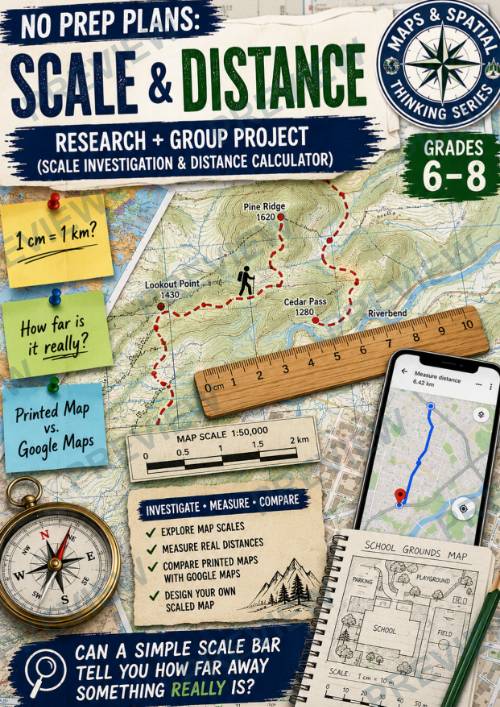
No Prep Plans: Scale & Distance-Scale Investigation & Distance Calculator
No Prep Plans: Scale & Distance
Research + Group Project: Scale Investigation & Distance Calculator
Help students discover how geographers, hikers, pilots, emergency responders, and everyday travelers use map scale to understand the world around them. In this engaging research and group project, students investigate how map scale affects distance measurements, compare printed maps with digital mapping tools, and design their own scaled map.
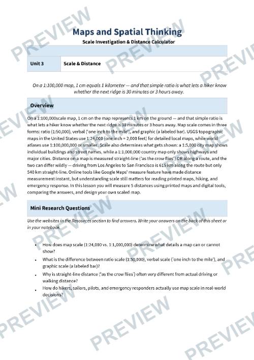
Students explore the relationship between scale and detail, learn how to measure real-world distances from maps, compare straight-line and route distances, and evaluate whether printed maps still have value in an age dominated by GPS and digital navigation. Through measurement, analysis, discussion, and map creation, students develop practical geography skills that connect directly to real-world problem solving.
Perfect for Geography, Humanities, Social Studies, Global Studies, Maps & Spatial Thinking, Mapping Skills, and introductory GIS and cartography units.
What's Included
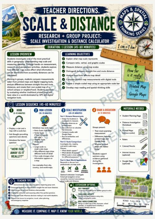
✔ Teacher Directions (1 lesson; 45–60 minutes)
✔ Student Research & Planning Page
✔ Scale Investigation & Distance Calculator Page
✔ School / Neighborhood Scaled Map Design Page
✔ Color & Black and White Versions
✔ Online Research Resources Included
✔ Distance Measurement Activities
✔ Scale Comparison Investigation
✔ Real-World Geography Applications
✔ Reflection Activities
Students Will
- Explain what map scale represents
- Compare ratio, verbal, and graphic scales
- Analyze how scale affects map detail
- Measure real-world distances using maps
- Compare printed map measurements with digital mapping tools
- Investigate straight-line and route distances
- Explore how professionals use map scale in real-world situations
- Design an original scaled map with a scale bar and legend
- Develop map-reading and spatial-thinking skills
Why Teachers Love This Resource
⭐ Requires minimal preparation
⭐ Combines geography, math, and real-world problem solving
⭐ Encourages collaboration and discussion
⭐ Strengthens map-reading and measurement skills
⭐ Provides authentic connections to navigation and travel
⭐ Supports inquiry-based learning
⭐ Engages students through hands-on investigation
⭐ Easily adaptable for different learning levels
⭐ Works well for whole-class, partner, or small-group instruction
⭐ Builds practical spatial-thinking skills students can use beyond the classroom
Perfect For
- Geography Units
- Maps & Spatial Thinking
- Mapping Skills
- Human Geography
- Physical Geography
- Global Studies
- Humanities
- Social Studies
- Cartography Lessons
- Inquiry-Based Learning
- Project-Based Learning (PBL)
- STEM Connections
- Enrichment Activities
- Sub Plans
- Middle School Geography
This resource is designed to complement classroom instruction and can be adapted to meet the needs of individual learners, classrooms, and curriculum frameworks. Students gain practical experience using scale and distance calculations while developing a deeper understanding of how maps help people navigate, measure, plan, and understand the world around them.
·
This resource is also part of a bundle with 9 other resources
Questions
No questions yet.
Ask a question
Your question goes to No Prep Plans. Answers show on this page, without your name or email.
Sent. The answer will show on this page.
Reviews
No reviews yet. Buyers can review a resource from their order page.
More from No Prep Plans

Campus Happiness Index
 No Prep Plans
$3.00

Book Labels
No Prep PlansFree

Big Band & Jazz Musicians Poster Set (1930s–1950s)
No Prep Plans$3.50

FREE Geography Learning Stations Signs & Choice Cards--Reusable
No Prep PlansFree

Refugee: Author's Craft, Themes & Evidence Bundle 10 Literary Analysis Lessons
No Prep Plans$29.25

Ancient World Turning Points Bundle | 10 Research + Group Project Lessons | 6-10
No Prep Plans$29.25
Request a quote or purchase order
For schools and districts. Your request goes to No Prep Plans, who will reply to your email with a quote or invoice.
Sent. The seller will reply to your email.
Report this listing
What your notice must include
The address of the listing on Classroom Clearinghouse (for example, the /p/ link).
https://classroomclearinghouse.com/p/wdab63cnzy
Your name, mailing address, phone number, and email.
How to report
Your name, company, mailing address, phone number, and email.
The address of each listing or store you are reporting.
https://classroomclearinghouse.com/p/wdab63cnzy
Copyright owners can also use the DMCA notice page.
Thanks. The report is in the review queue.