
Preview: 3 of 14 pages. Scroll sideways to see more.
$3.00
In your cart. View cart
No account needed. You get a download link.
| Grade | 6th Grade to 8th Grade |
|---|---|
| Resource type | Lesson Plans |
| Subject | History |
| Format | PDF, 14 pages |
| How was this made? | Created by hand, with images from generation tools |
| Updated | 2026-10-26 |
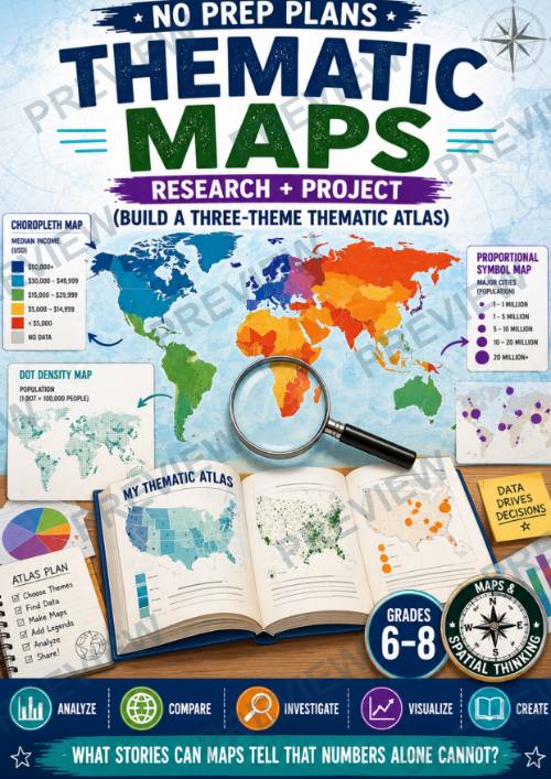
No Prep Plans: Thematic Maps-Build a Three-Theme Thematic Atlas
No Prep Plans: Thematic Maps
Research + Project: Build a Three-Theme Thematic Atlas
Help students discover how maps can tell powerful stories using data. In this engaging geography project, students explore thematic maps and learn how cartographers use data visualization to reveal patterns about population, climate, economics, elections, public health, and more.
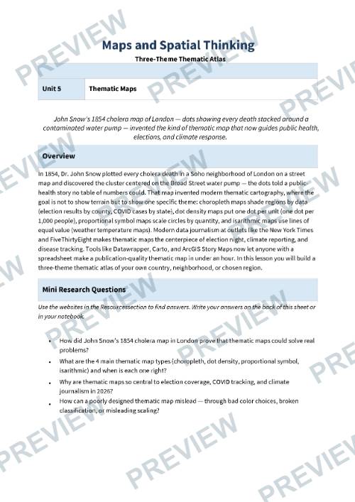
Students investigate the major types of thematic maps, analyze real-world examples, and create their own Three-Theme Thematic Atlas featuring a choropleth map, dot density map, and proportional symbol map. To deepen critical-thinking and media-literacy skills, students also design a deliberately misleading map and evaluate how map design choices can influence how information is interpreted. Inspired by the famous 1854 cholera map created by Dr. John Snow, students learn how thematic maps have helped solve real-world problems and continue to shape decision-making today.
Perfect for Geography, Humanities, Social Studies, Global Studies, Data Literacy, Cartography, and Maps & Spatial Thinking units.
What's Included
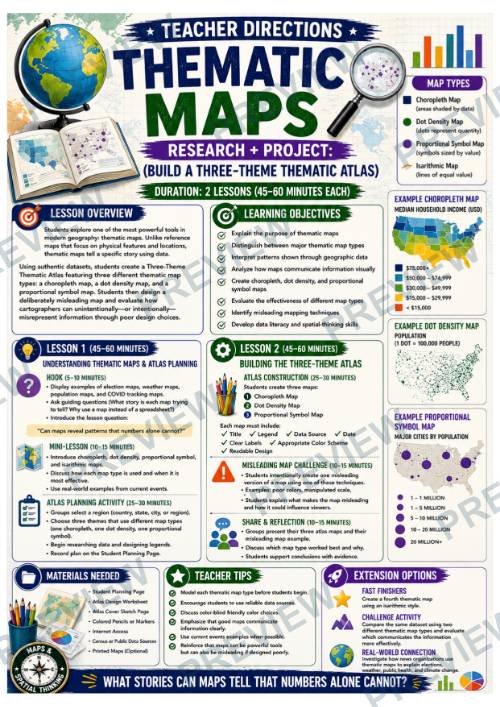
✔ Teacher Directions (2 lessons; 45–60 minutes each)
✔ Student Research & Planning Page
✔ Atlas Design & Map Analysis Page
✔ Misleading Maps Challenge Page
✔ Color & Black and White Versions
✔ Online Research Resources Included
Students Will
- Explain the purpose of thematic maps
- Distinguish between choropleth, dot density, proportional symbol, and isarithmic maps
- Analyze geographic data and identify patterns
- Select appropriate thematic map types for different datasets
- Create a three-map thematic atlas
- Design effective legends and map layouts
- Evaluate the strengths and limitations of different map types
- Identify misleading mapping techniques
- Develop critical-thinking, data-literacy, and spatial-thinking skills
Why Teachers Love This Resource
⭐ Requires minimal preparation
⭐ Combines geography, data analysis, and media literacy
⭐ Encourages inquiry-based learning
⭐ Builds real-world data visualization skills
⭐ Strengthens map-reading and interpretation abilities
⭐ Promotes critical thinking about information sources
⭐ Engages students with authentic geographic investigations
⭐ Supports collaboration, discussion, and presentation skills
⭐ Easily adaptable for different regions and datasets
⭐ Connects geography to current events, public health, elections, and environmental issues
Perfect For
- Geography Units
- Maps & Spatial Thinking
- Data Literacy
- Media Literacy
- Inquiry-Based Learning
- Project-Based Learning (PBL)
- STEM Connections
- Current Events Analysis
- Enrichment Activities
- Sub Plans
Through the process, students learn that maps are more than navigation tools—they are powerful visual stories that help people understand patterns, make decisions, and sometimes even challenge assumptions about the world around them.
·
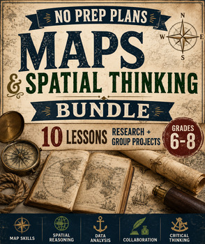
This resource is also part of a bundle with 9 other resources
Questions
No questions yet.
Ask a question
Your question goes to No Prep Plans. Answers show on this page, without your name or email.
Sent. The answer will show on this page.
Reviews
No reviews yet. Buyers can review a resource from their order page.
More from No Prep Plans

Campus Happiness Index
 No Prep Plans
$3.00

Book Labels
No Prep PlansFree

Big Band & Jazz Musicians Poster Set (1930s–1950s)
No Prep Plans$3.50

FREE Geography Learning Stations Signs & Choice Cards--Reusable
No Prep PlansFree

Refugee: Author's Craft, Themes & Evidence Bundle 10 Literary Analysis Lessons
No Prep Plans$29.25

Ancient World Turning Points Bundle | 10 Research + Group Project Lessons | 6-10
No Prep Plans$29.25
Request a quote or purchase order
For schools and districts. Your request goes to No Prep Plans, who will reply to your email with a quote or invoice.
Sent. The seller will reply to your email.
Report this listing
What your notice must include
The address of the listing on Classroom Clearinghouse (for example, the /p/ link).
https://classroomclearinghouse.com/p/sndfehfjq8
Your name, mailing address, phone number, and email.
How to report
Your name, company, mailing address, phone number, and email.
The address of each listing or store you are reporting.
https://classroomclearinghouse.com/p/sndfehfjq8
Copyright owners can also use the DMCA notice page.
Thanks. The report is in the review queue.