
Preview: 3 of 14 pages. Scroll sideways to see more.
$3.00
In your cart. View cart
No account needed. You get a download link.
| Grade | 6th Grade to 8th Grade |
|---|---|
| Resource type | Lesson Plans |
| Subject | Geography |
| Format | PDF, 14 pages |
| How was this made? | Created by hand, with images from generation tools |
| Updated | 2026-10-26 |
No Prep Plans: Satellite Imagery-(Before-and-After Satellite Investigation)
No Prep Plans: Satellite Imagery
Research + Group Project (Before-and-After Satellite Investigation)
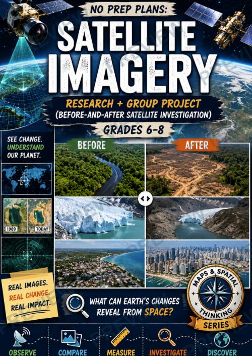
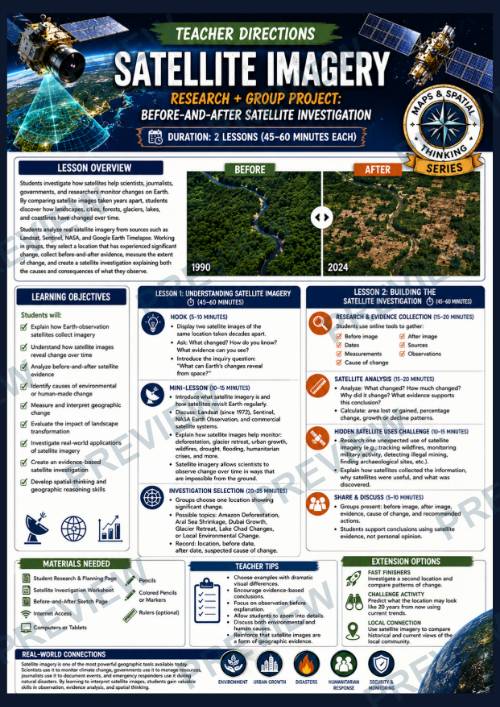
In this engaging geography investigation, students explore how satellites help scientists, researchers, and governments monitor changes across Earth's surface. By comparing satellite images taken years or even decades apart, students discover how forests disappear, glaciers retreat, lakes shrink, cities expand, and landscapes transform over time.
Students select a location that has experienced significant change and conduct a Before-and-After Satellite Investigation using real satellite imagery. They analyze visual evidence, identify possible causes, measure changes over time, and build an evidence-based investigation supported by observations and research.
Students also explore additional uses of satellite imagery, including disaster response, environmental monitoring, agriculture, archaeology, and humanitarian investigations. Through research, analysis, and discussion, students develop critical-thinking, observation, and spatial-thinking skills while learning how geographic evidence can help explain real-world change.
What's Included
✔ Teacher Directions (2 Lessons)
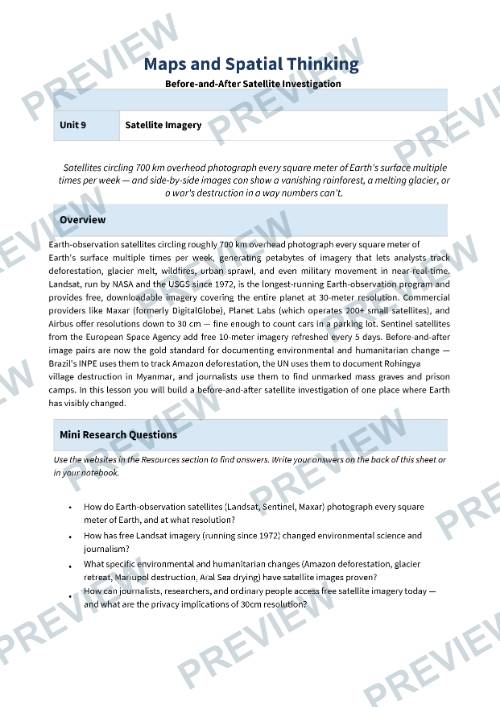
✔ Research & Planning Page
✔ Before-and-After Satellite Investigation Page
✔ Satellite Evidence Board & Reflection Page
✔ Color Versions
✔ Black & White Versions
✔ Online Resources Page
Why Teachers Love This Resource
⭐ Requires minimal preparation
⭐ Uses real-world satellite imagery and geographic evidence
⭐ Encourages inquiry, research, and critical thinking
⭐ Develops observation and spatial-thinking skills
⭐ Connects geography with environmental and human impacts
⭐ Promotes evidence-based conclusions and discussion
⭐ Engaging project format with authentic applications
⭐ Works well for individual, partner, or group investigations
Perfect for Geography, Social Studies, Environmental Science, Earth Science, STEM, and Maps & Spatial Thinking units.
Students finish the project with a deeper understanding of how satellite imagery helps us observe, measure, and understand change on Earth.
·
This resource is also part of a bundle with 9 other resources
Questions
No questions yet.
Ask a question
Your question goes to No Prep Plans. Answers show on this page, without your name or email.
Sent. The answer will show on this page.
Reviews
No reviews yet. Buyers can review a resource from their order page.
More from No Prep Plans

Campus Happiness Index
 No Prep Plans
$3.00

Book Labels
No Prep PlansFree

Big Band & Jazz Musicians Poster Set (1930s–1950s)
No Prep Plans$3.50

FREE Geography Learning Stations Signs & Choice Cards--Reusable
No Prep PlansFree

Refugee: Author's Craft, Themes & Evidence Bundle 10 Literary Analysis Lessons
No Prep Plans$29.25

Ancient World Turning Points Bundle | 10 Research + Group Project Lessons | 6-10
No Prep Plans$29.25
Request a quote or purchase order
For schools and districts. Your request goes to No Prep Plans, who will reply to your email with a quote or invoice.
Sent. The seller will reply to your email.
Report this listing
What your notice must include
The address of the listing on Classroom Clearinghouse (for example, the /p/ link).
https://classroomclearinghouse.com/p/bs6bk2jent
Your name, mailing address, phone number, and email.
How to report
Your name, company, mailing address, phone number, and email.
The address of each listing or store you are reporting.
https://classroomclearinghouse.com/p/bs6bk2jent
Copyright owners can also use the DMCA notice page.
Thanks. The report is in the review queue.