
Preview: 3 of 16 pages. Scroll sideways to see more.
$3.50
In your cart. View cart
No account needed. You get a download link.
| Grade | 6th Grade to 8th Grade |
|---|---|
| Resource type | Projects |
| Subject | History |
| Format | PDF, 16 pages |
| How was this made? | Created by hand, with images from generation tools |
| Updated | 2026-10-26 |
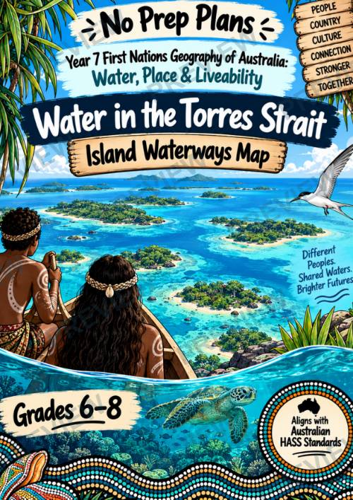
Year 7 First Nations Geography: Water in the Torres Strait | HASS Aligned
No Prep Plans | Year 7 First Nations Geography: Water in the Torres Strait | Island Waterways Map | HASS Aligned
Explore First Nations Geography of Australia through a focused investigation of the Torres Strait, island geography, Sea Country, traditional water knowledge, and contemporary environmental change.
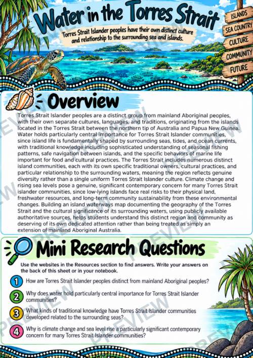
Students examine Torres Strait Islander peoples as distinct from mainland Aboriginal peoples and investigate how island life is shaped by surrounding seas, tides, currents, marine environments, navigation, fishing, and connections between communities. They then use their research to create an Island Waterways Map that communicates the geographic and cultural significance of the region.
WHAT’S INCLUDED
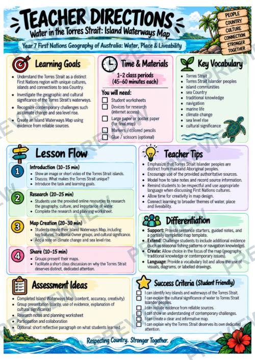
- Teacher Directions
- Overview + Mini Research Questions
- Island Waterways Map Group Activity
- 4 Research, Analysis & Mapping Pages
- Colour + Black-and-White Student Versions
- Online Research Resources
STUDENTS WILL
- Locate and investigate the Torres Strait
- Examine the geography of its islands and surrounding waters
- Explore traditional water knowledge
- Investigate navigation, tides, currents, fishing, and marine life
- Recognize the diversity of Torres Strait Island communities
- Connect observation → knowledge → action
- Investigate climate change and sea-level rise
- Analyse connections between environmental change, culture, and community
- Plan and create an Island Waterways Map
- Use publicly available authoritative sources
WHY TEACHERS LOVE THIS
- No prep and ready to use
- Designed for 1–2 class periods of approximately 45–60 minutes
- Combines geography, research, mapping, and critical thinking
- Gives Torres Strait Islander peoples dedicated attention
- Moves students beyond basic fact-finding into deeper geographic analysis
- Includes a full map-planning and sketch page
- Colour and printer-friendly versions included
PERFECT FOR
- Year 7 HASS Geography
- First Nations Geography of Australia
- Water in the World
- Place & Liveability
- Torres Strait studies
- Aboriginal and Torres Strait Islander Histories and Cultures
- Cultural and physical geography
- Climate change investigations
- Geography inquiry and mapping
- Grades 6–8
AUSTRALIAN CURRICULUM / HASS ALIGNMENT DISCLAIMER
This independently created resource is designed to align with and support learning within the Australian Curriculum: Humanities and Social Sciences (HASS), including Geography. References to the Australian Curriculum, HASS, curriculum content, or related terminology are provided for alignment and descriptive purposes only. This resource is not produced, endorsed, approved, sponsored, or affiliated with the Australian Curriculum, Assessment and Reporting Authority (ACARA). The Australian Curriculum and associated curriculum materials remain the intellectual property of their respective rights holders. Teachers should consult the current official Australian Curriculum when determining curriculum requirements for their school, state, territory, or context.
FOLLOW & SAVE 10%
·
This resource is also part of a bundle with 9 other resources
Questions
No questions yet.
Ask a question
Your question goes to No Prep Plans. Answers show on this page, without your name or email.
Sent. The answer will show on this page.
Reviews
No reviews yet. Buyers can review a resource from their order page.
More from No Prep Plans

Campus Happiness Index
 No Prep Plans
$3.00

Book Labels
No Prep PlansFree

Big Band & Jazz Musicians Poster Set (1930s–1950s)
No Prep Plans$3.50

FREE Geography Learning Stations Signs & Choice Cards--Reusable
No Prep PlansFree

Refugee: Author's Craft, Themes & Evidence Bundle 10 Literary Analysis Lessons
No Prep Plans$29.25

Ancient World Turning Points Bundle | 10 Research + Group Project Lessons | 6-10
No Prep Plans$29.25
Request a quote or purchase order
For schools and districts. Your request goes to No Prep Plans, who will reply to your email with a quote or invoice.
Sent. The seller will reply to your email.
Report this listing
What your notice must include
The address of the listing on Classroom Clearinghouse (for example, the /p/ link).
https://classroomclearinghouse.com/p/wmp2yf3j3j
Your name, mailing address, phone number, and email.
How to report
Your name, company, mailing address, phone number, and email.
The address of each listing or store you are reporting.
https://classroomclearinghouse.com/p/wmp2yf3j3j
Copyright owners can also use the DMCA notice page.
Thanks. The report is in the review queue.