
Preview: 3 of 14 pages. Scroll sideways to see more.
$3.00
In your cart. View cart
No account needed. You get a download link.
| Grade | 6th Grade to 8th Grade |
|---|---|
| Resource type | Projects |
| Subject | History |
| Format | PDF, 14 pages |
| How was this made? | Created by hand, with images from generation tools |
| Updated | 2026-10-26 |
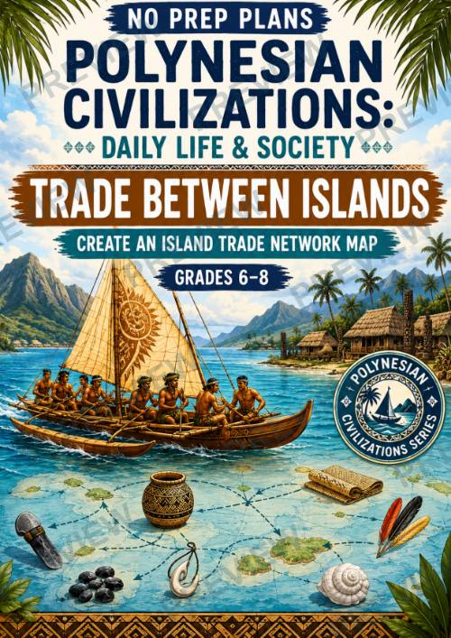
Polynesian Civilizations: Daily Life & Society: Trade Between Islands
No Prep Plans: Polynesian Civilizations: Daily Life & Society: Trade Between Islands | Create an Island Trade Network Map | Grades 6–8
Show students that the islands of Polynesia were connected, not isolated, through one of history's greatest ocean trade networks! In this engaging Island Trade Network Map project, students investigate how skilled navigators carried goods, ideas, technologies, and cultural traditions across thousands of kilometres of the Pacific. They then apply their learning by designing a detailed trade network map that illustrates the movement of resources, people, and knowledge between Polynesian islands.
Through inquiry-based activities, map analysis, planning tasks, and a hands-on cartography project, students discover how geography, navigation, and trade helped Polynesian societies build strong cultural, social, and political connections across the ocean.
Perfect for Ancient History, World History, Geography, Humanities, and Social Studies classrooms.
What's Included
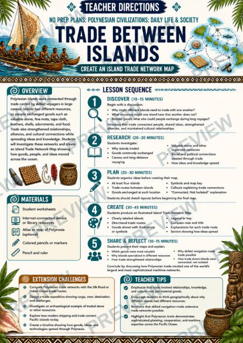
- Teacher Directions Page
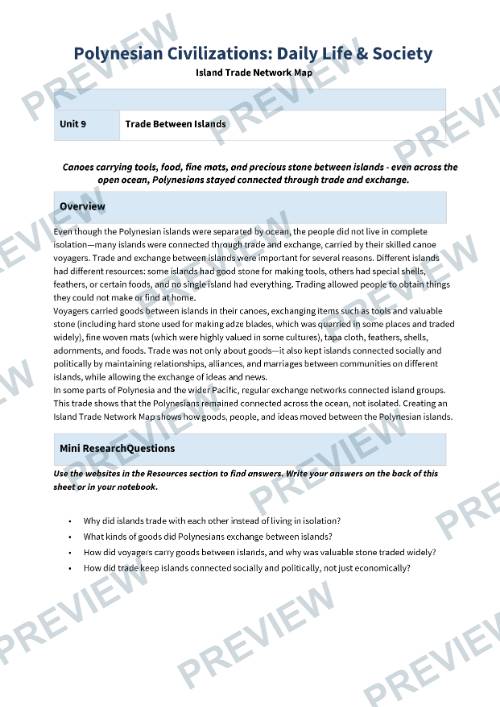
- Student Discovery Page: How Did Islands Stay Connected?
- Island Trade Network Planning Page
- Large Island Trade Network Map project page featuring a blank regional map of Polynesia
- Black-and-white versions of every student page
- Print-ready A4 Portrait format (full bleed)
Students Will Learn
- Why Polynesian islands traded with one another
- How geography influenced the resources available on different islands
- The types of goods exchanged, including stone, tapa cloth, woven mats, feathers, shells, food, and tools
- How skilled navigators transported goods across vast distances in voyaging canoes
- How trade strengthened social, political, and cultural relationships
- Why ideas, technologies, and traditions spread alongside traded goods
- How to create and interpret an Island Trade Network Map
Perfect For
- Ancient History & Civilizations
- Geography & Humanities
- Social Studies
- Inquiry-Based Learning
- Map Skills & Cartography
- Project-Based Learning (PBL)
- Grades 6–8
Why Teachers Love It
- Ready-to-use, no-prep lesson
- Combines geography, history, and mapping skills
- Reinforces spatial thinking and trade network concepts
- Encourages inquiry, research, and critical thinking
- Features a large, student-friendly Polynesian regional map for an authentic cartography project
- Develops research, planning, mapping, and presentation skills
- Includes both full-colour and black-and-white student pages
- Flexible for individual, partner, or small-group learning
Part of the Polynesian Civilizations: Daily Life & Society Series
This lesson is part of the No Prep Plans: Polynesian Civilizations – Daily Life & Society series, a collection of classroom-ready resources exploring the history, culture, beliefs, leadership, technology, environment, traditions, and everyday lives of Polynesian societies through engaging research lessons and hands-on projects.
Curriculum Alignment & Disclaimer
This resource is designed to support and supplement classroom instruction and aligns well with topics commonly taught in the Australian Curriculum, including the Humanities and Social Sciences (HASS) learning area. It supports students in investigating historical trade and exchange networks, examining how geography influenced the movement of goods and ideas, exploring the importance of navigation and inter-island connections, developing geographical and historical inquiry skills, interpreting and creating maps, and communicating evidence-based conclusions through authentic cartographic projects.
This is an independent educational resource and is not affiliated with, endorsed by, or officially connected to ACARA or the Australian Curriculum. It is intended to complement—not replace—your existing curriculum. Teachers are encouraged to adapt, modify, extend, and differentiate the activities to best meet the needs of their students, curriculum requirements, classroom context, and local learning goals.
·
This resource is also part of a bundle with 9 other resources
Questions
No questions yet.
Ask a question
Your question goes to No Prep Plans. Answers show on this page, without your name or email.
Sent. The answer will show on this page.
Reviews
No reviews yet. Buyers can review a resource from their order page.
More from No Prep Plans

Campus Happiness Index
 No Prep Plans
$3.00

Book Labels
No Prep PlansFree

Big Band & Jazz Musicians Poster Set (1930s–1950s)
No Prep Plans$3.50

FREE Geography Learning Stations Signs & Choice Cards--Reusable
No Prep PlansFree

Refugee: Author's Craft, Themes & Evidence Bundle 10 Literary Analysis Lessons
No Prep Plans$29.25

Ancient World Turning Points Bundle | 10 Research + Group Project Lessons | 6-10
No Prep Plans$29.25
Request a quote or purchase order
For schools and districts. Your request goes to No Prep Plans, who will reply to your email with a quote or invoice.
Sent. The seller will reply to your email.
Report this listing
What your notice must include
The address of the listing on Classroom Clearinghouse (for example, the /p/ link).
https://classroomclearinghouse.com/p/vffbdn9e28
Your name, mailing address, phone number, and email.
How to report
Your name, company, mailing address, phone number, and email.
The address of each listing or store you are reporting.
https://classroomclearinghouse.com/p/vffbdn9e28
Copyright owners can also use the DMCA notice page.
Thanks. The report is in the review queue.