
Preview: 3 of 14 pages. Scroll sideways to see more.
$3.00
In your cart. View cart
No account needed. You get a download link.
| Grade | 6th Grade to 8th Grade |
|---|---|
| Resource type | Projects |
| Subject | History |
| Format | PDF, 14 pages |
| How was this made? | Created by hand, with images from generation tools |
| Updated | 2026-10-26 |
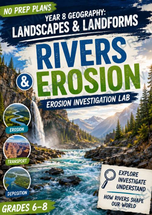
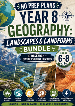
Year 8 Geography – Landscapes & Landforms Rivers & Erosion
No Prep Plans: Year 8 Geography – Landscapes & Landforms Rivers & Erosion – Erosion Investigation Lab
Bring the power of rivers to life with this engaging, hands-on geography investigation! Students discover how flowing water shapes Earth's surface through erosion, transportation, and deposition while designing and conducting their own stream table experiment. This inquiry-based lesson combines physical geography, scientific investigation, and critical thinking as students observe how rivers create valleys, waterfalls, meanders, floodplains, and deltas over time.
Perfect for Year 8 Geography, Grades 6–8 Earth Science, or any middle school unit on river systems, erosion, and landforms, this resource encourages students to think and work like real geographers.
What's Included
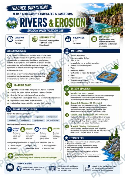
- Teacher Directions (1–2 class periods)
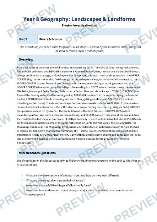
- Student Understanding & Research Page
- Student Investigation Planning Page
- Student Reflection & Extension Page
- Black-and-White Versions of All Student Pages
- Hands-On Stream Table Investigation
Students Will Learn
- How rivers erode, transport, and deposit sediment
- The differences between the upper, middle, and lower courses of a river
- The four main types of river erosion: hydraulic action, abrasion, attrition, and solution
- How water speed, slope, sediment size, and obstacles affect erosion
- How rivers create landforms such as waterfalls, meanders, floodplains, deltas, and valleys
- How human activities influence river systems and erosion processes
- How to investigate, observe, and communicate scientific evidence
Hands-On Project
Students design and carry out their own Erosion Investigation Lab using a simple stream table. By testing different variables such as water flow, slope, sediment size, and human-made obstacles, they observe how rivers reshape landscapes and compare their results with real-world river systems.
Perfect For
- Year 8 Geography
- Grades 6–8 Geography
- Middle School Earth Science
- Rivers & River Systems
- Landscapes & Landforms Units
- Weathering, Erosion & Deposition
- STEM Investigations
- Inquiry-Based Learning
- Project-Based Learning (PBL)
- Homeschool Geography
- Substitute Teacher Plans
Why Teachers Love It
- No-prep, print-and-go format
- Highly engaging hands-on investigation
- Combines geography, Earth science, and scientific inquiry
- Encourages prediction, observation, analysis, and reflection
- Builds critical thinking and evidence-based reasoning
- Includes both full-colour and printer-friendly black-and-white student pages
- Promotes collaboration and authentic scientific investigation through a stream table experiment
This resource is part of the No Prep Plans: Year 8 Geography – Landscapes & Landforms series, helping students explore the dynamic processes that shape Earth's surface through engaging investigations, creative activities, and real-world geographical thinking.
Note: This resource is an independent educational product and is not affiliated with or endorsed by any curriculum authority or examination board. It is designed to supplement classroom instruction and can be adapted to suit your local curriculum.
·
This resource is also part of 2 bundles
Questions
No questions yet.
Ask a question
Your question goes to No Prep Plans. Answers show on this page, without your name or email.
Sent. The answer will show on this page.
Reviews
No reviews yet. Buyers can review a resource from their order page.
More from No Prep Plans

Campus Happiness Index
 No Prep Plans
$3.00

Book Labels
No Prep PlansFree

Big Band & Jazz Musicians Poster Set (1930s–1950s)
No Prep Plans$3.50

FREE Geography Learning Stations Signs & Choice Cards--Reusable
No Prep PlansFree

Refugee: Author's Craft, Themes & Evidence Bundle 10 Literary Analysis Lessons
No Prep Plans$29.25

Ancient World Turning Points Bundle | 10 Research + Group Project Lessons | 6-10
No Prep Plans$29.25
Request a quote or purchase order
For schools and districts. Your request goes to No Prep Plans, who will reply to your email with a quote or invoice.
Sent. The seller will reply to your email.
Report this listing
What your notice must include
The address of the listing on Classroom Clearinghouse (for example, the /p/ link).
https://classroomclearinghouse.com/p/uhduhtr8n9
Your name, mailing address, phone number, and email.
How to report
Your name, company, mailing address, phone number, and email.
The address of each listing or store you are reporting.
https://classroomclearinghouse.com/p/uhduhtr8n9
Copyright owners can also use the DMCA notice page.
Thanks. The report is in the review queue.