
Preview: 3 of 16 pages. Scroll sideways to see more.
$3.50
In your cart. View cart
No account needed. You get a download link.
| Grade | 6th Grade to 8th Grade |
|---|---|
| Resource type | Projects |
| Subject | History |
| Format | PDF, 16 pages |
| How was this made? | Created by hand, with images from generation tools |
| Updated | 2026-10-26 |
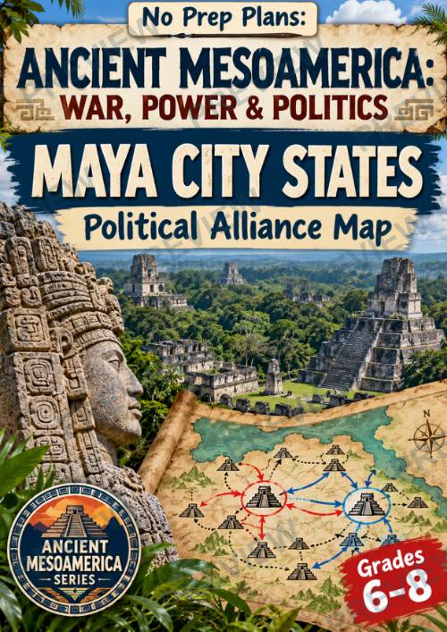
Ancient Mesoamerica: War, Power & Politics-Maya City-States| Alliance Map
Ancient Mesoamerica: Maya City-States Political Alliance Map | Grades 6–8
Bring the political world of the ancient Maya to life with this no-prep research and analysis project from the Ancient Mesoamerica: War, Power & Politics series!
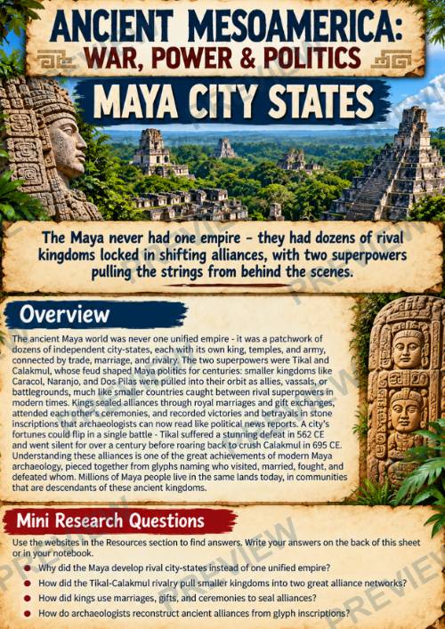
The Maya were never one unified empire. Instead, dozens of independent kingdoms competed for power through warfare, diplomacy, royal marriages, shifting alliances, and political rivalries. In this lesson, students investigate the powerful rivalry between Tikal and Calakmul and examine how smaller kingdoms became allies, rivals, vassals, and battlegrounds within their competing political networks.
Students then use their research to create a Political Alliance Map of the Classic Maya world, identifying major city-states and visually showing how alliances, battles, marriages, and changing loyalties affected the balance of power.
What’s Included
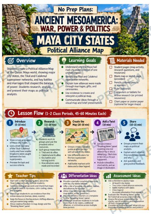
- Teacher directions and lesson flow
- Background overview + mini research questions
- 5-step Political Alliance Map activity
- Curated online research resources
- Research, evidence, and political-power analysis worksheets
- Map planning and Breaking News activity
- Blank Maya-region map for the final product
- Color + black-and-white student pages
Students Will
Students will explore why the Maya developed independent city-states rather than a single empire, investigate the Tikal–Calakmul rivalry, analyze how alliances were created and changed, examine evidence from inscriptions and archaeology, identify political turning points, and transform their research into a visual representation of Maya power and politics.
Why Teachers Love It
This lesson goes beyond memorizing names and dates. Students research, analyze evidence, recognize political relationships, track shifts in power, and communicate historical information visually. Structured student pages provide support throughout the process while still giving students meaningful choices about how to represent their findings.
Designed for approximately 1–2 45–60 minute class periods, this resource works well for Ancient Civilizations, World History, Mesoamerica, Maya Civilization, archaeology, geography, and interdisciplinary history units.
·
This resource is also part of a bundle with 9 other resources
Questions
No questions yet.
Ask a question
Your question goes to No Prep Plans. Answers show on this page, without your name or email.
Sent. The answer will show on this page.
Reviews
No reviews yet. Buyers can review a resource from their order page.
More from No Prep Plans

Campus Happiness Index
 No Prep Plans
$3.00

Book Labels
No Prep PlansFree

Big Band & Jazz Musicians Poster Set (1930s–1950s)
No Prep Plans$3.50

FREE Geography Learning Stations Signs & Choice Cards--Reusable
No Prep PlansFree

Refugee: Author's Craft, Themes & Evidence Bundle 10 Literary Analysis Lessons
No Prep Plans$29.25

Ancient World Turning Points Bundle | 10 Research + Group Project Lessons | 6-10
No Prep Plans$29.25
Request a quote or purchase order
For schools and districts. Your request goes to No Prep Plans, who will reply to your email with a quote or invoice.
Sent. The seller will reply to your email.
Report this listing
What your notice must include
The address of the listing on Classroom Clearinghouse (for example, the /p/ link).
https://classroomclearinghouse.com/p/ua6vpfd7d7
Your name, mailing address, phone number, and email.
How to report
Your name, company, mailing address, phone number, and email.
The address of each listing or store you are reporting.
https://classroomclearinghouse.com/p/ua6vpfd7d7
Copyright owners can also use the DMCA notice page.
Thanks. The report is in the review queue.