
Preview: 3 of 14 pages. Scroll sideways to see more.
$3.00
In your cart. View cart
No account needed. You get a download link.
| Grade | 6th Grade to 8th Grade |
|---|---|
| Resource type | Projects |
| Subject | History |
| Format | PDF, 14 pages |
| How was this made? | Created by hand, with images from generation tools |
| Updated | 2026-10-26 |
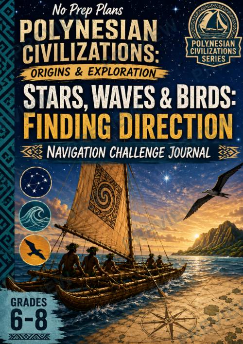
Polynesian Civilizations: Origins & Exploration Stars, Waves & Birds
Polynesian Civilizations: Origins & ExplorationStars, Waves & Birds: Finding Direction — Navigation Challenge Journal Grades 6–8 | No Prep | Geography + History + Inquiry
Put students on the deck of a Polynesian voyaging canoe and challenge them to answer an extraordinary question: How do you find your way across the Pacific when there are no maps, compasses, or GPS?
In this engaging inquiry-based lesson, students investigate how Polynesian navigators used their detailed knowledge of the natural world to find direction and locate distant islands. Students explore stars, ocean swells, winds, seabirds, clouds, currents, and other environmental clues before applying their knowledge to realistic navigation problems.
Rather than simply learning about traditional navigation, students are challenged to think like navigators themselves—interpreting evidence, combining clues, making decisions, and defending their reasoning.
What's Included
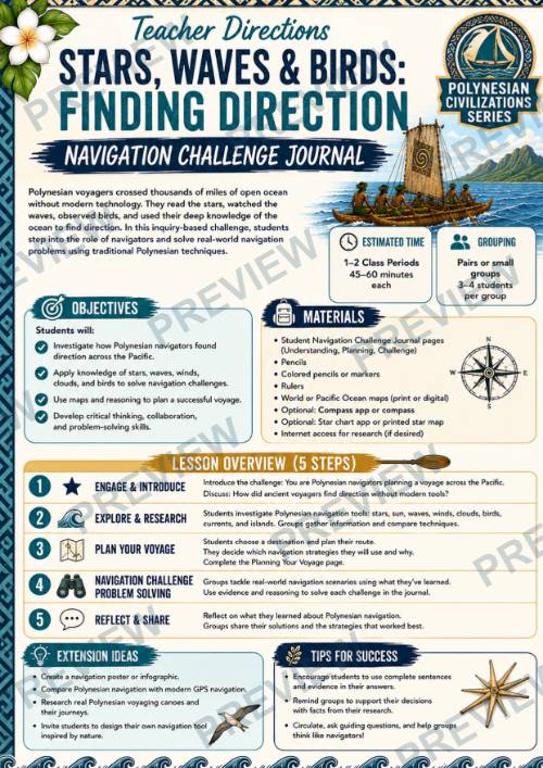
- Teacher Directions
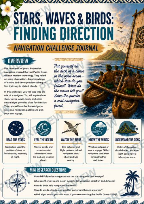
- Lesson Overview + Mini Research Questions
- 5-Step Group Activity
- 3 Student Research, Planning & Analysis Pages
- Navigation Challenge Journal planning activities
- Full-Color Student Pages
- Printer-Friendly Black-and-White Versions
Students Explore
- How navigators used stars to maintain direction
- What waves and ocean swells could reveal
- How seabird behavior could provide clues about nearby land
- How winds affected a voyage
- What clouds, currents, and other environmental signs could reveal
- Why natural clues could change during a voyage
- Why navigators combined multiple forms of evidence
- How observation and accumulated knowledge supported long-distance navigation
- How navigators made decisions when different clues appeared to conflict
Builds Historical & Geographic Thinking
Students practice historical inquiry, geographic reasoning, evidence analysis, observation, inference, decision-making, problem solving, collaboration, and evidence-based explanation.
The lesson helps students recognize Polynesian navigation not as guesswork, but as a sophisticated knowledge system requiring careful observation, training, experience, and an extraordinary understanding of the Pacific environment.
Perfect For
- World History
- Geography
- Ancient Civilizations
- Polynesian Civilizations
- Pacific Studies
- Exploration Units
- Navigation & Wayfinding
- Project-Based Learning
- Middle School Social Studies
No GPS. No compass. No chart. Just stars overhead, waves beneath the canoe, birds on the horizon—and the knowledge to understand what they mean.
·
This resource is also part of a bundle with 9 other resources
Questions
No questions yet.
Ask a question
Your question goes to No Prep Plans. Answers show on this page, without your name or email.
Sent. The answer will show on this page.
Reviews
No reviews yet. Buyers can review a resource from their order page.
More from No Prep Plans

Campus Happiness Index
 No Prep Plans
$3.00

Book Labels
No Prep PlansFree

Big Band & Jazz Musicians Poster Set (1930s–1950s)
No Prep Plans$3.50

FREE Geography Learning Stations Signs & Choice Cards--Reusable
No Prep PlansFree

Refugee: Author's Craft, Themes & Evidence Bundle 10 Literary Analysis Lessons
No Prep Plans$29.25

Ancient World Turning Points Bundle | 10 Research + Group Project Lessons | 6-10
No Prep Plans$29.25
Request a quote or purchase order
For schools and districts. Your request goes to No Prep Plans, who will reply to your email with a quote or invoice.
Sent. The seller will reply to your email.
Report this listing
What your notice must include
The address of the listing on Classroom Clearinghouse (for example, the /p/ link).
https://classroomclearinghouse.com/p/tbwdctwspf
Your name, mailing address, phone number, and email.
How to report
Your name, company, mailing address, phone number, and email.
The address of each listing or store you are reporting.
https://classroomclearinghouse.com/p/tbwdctwspf
Copyright owners can also use the DMCA notice page.
Thanks. The report is in the review queue.