
Preview: 3 of 14 pages. Scroll sideways to see more.
$3.00
In your cart. View cart
No account needed. You get a download link.
| Grade | 6th Grade to 8th Grade |
|---|---|
| Resource type | Lesson Plans |
| Subject | History |
| Format | PDF, 14 pages |
| How was this made? | Created by hand, with images from generation tools |
| Updated | 2026-10-26 |
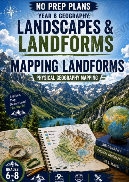
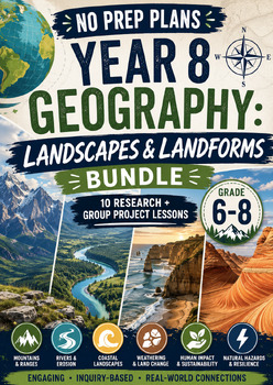
No Prep Plans: Year 8 Geography – Landscapes & Landforms --Mapping Landforms
No Prep Plans: Year 8 Geography – Landscapes & LandformsMapping Landforms – Physical Geography Mapping
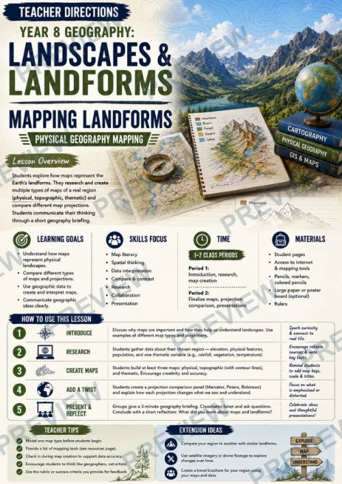
Help students discover that maps are much more than simple pictures of places—they are powerful tools that shape how we understand the world. In this engaging, inquiry-based lesson, students investigate how different types of maps represent the same landscape in different ways before creating their own Physical Geography Mapping Project.
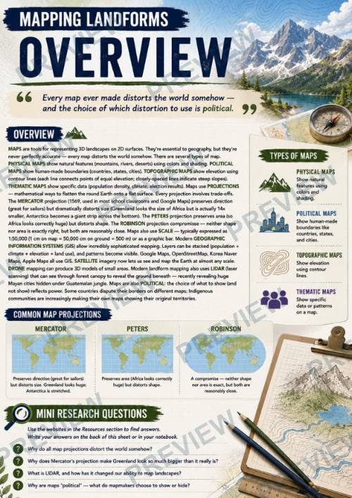
Working as professional cartographers, students select a real region and produce physical, topographic, and thematic maps, compare world map projections, and evaluate how different mapping choices influence the information people see and interpret.
What's Included
- Teacher Directions (1–2 class periods)
- Student Page 1: Cartographer's Brief
- Student Page 2: Three Maps, Three Stories
- Student Page 3: The Mapmaker's Lens
- Black-and-White Versions of All Student Pages
Students Will Learn
- How maps represent physical landscapes
- The differences between physical, topographic, and thematic maps
- How contour lines show elevation and landforms
- How map projections change the way Earth is represented
- Why every map involves choices about what information to include or emphasize
- How to gather and organize geographical data from reliable sources
- How to interpret spatial patterns using multiple map types
- How professional cartographers communicate geographical information
- How to compare, evaluate, and present geographical evidence
Perfect For
- Year 8 Geography
- Grades 6–8 Geography
- Physical Geography Units
- Inquiry-Based Learning
- Project-Based Learning (PBL)
- Homeschool Geography
- Geography Centers
- Substitute Teacher Plans
Why Teachers Love It
- No-prep, print-and-go lesson
- Authentic cartography project instead of traditional worksheets
- Encourages critical thinking, spatial reasoning, and data interpretation
- Students create multiple professional-style maps of the same region
- Builds understanding of how different maps communicate different information
- Develops research, analysis, presentation, and geographical inquiry skills
- Modern, engaging layouts designed for middle school learners
- Flexible for individual, partner, or small-group work
- Includes both full-colour and printer-friendly black-and-white student pages
- Connects classroom geography with real-world mapping, GIS, and environmental planning careers
This resource is part of the No Prep Plans: Year 8 Geography – Landscapes & Landforms series, where students investigate Earth's physical features while developing the geographical thinking, mapping, and analytical skills used by professional geographers.
Note: This resource is an independent educational product and is not affiliated with or endorsed by any curriculum authority or examination board. It is designed to supplement classroom instruction and can be adapted to suit your local curriculum.
·
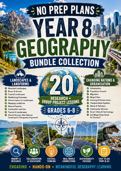
This resource is also part of 2 bundles
Questions
No questions yet.
Ask a question
Your question goes to No Prep Plans. Answers show on this page, without your name or email.
Sent. The answer will show on this page.
Reviews
No reviews yet. Buyers can review a resource from their order page.
More from No Prep Plans

Campus Happiness Index
 No Prep Plans
$3.00

Book Labels
No Prep PlansFree

Big Band & Jazz Musicians Poster Set (1930s–1950s)
No Prep Plans$3.50

FREE Geography Learning Stations Signs & Choice Cards--Reusable
No Prep PlansFree

Refugee: Author's Craft, Themes & Evidence Bundle 10 Literary Analysis Lessons
No Prep Plans$29.25

Ancient World Turning Points Bundle | 10 Research + Group Project Lessons | 6-10
No Prep Plans$29.25
Request a quote or purchase order
For schools and districts. Your request goes to No Prep Plans, who will reply to your email with a quote or invoice.
Sent. The seller will reply to your email.
Report this listing
What your notice must include
The address of the listing on Classroom Clearinghouse (for example, the /p/ link).
https://classroomclearinghouse.com/p/ru3ztks5tw
Your name, mailing address, phone number, and email.
How to report
Your name, company, mailing address, phone number, and email.
The address of each listing or store you are reporting.
https://classroomclearinghouse.com/p/ru3ztks5tw
Copyright owners can also use the DMCA notice page.
Thanks. The report is in the review queue.