
Preview: 3 of 14 pages. Scroll sideways to see more.
$3.00
In your cart. View cart
No account needed. You get a download link.
| Grade | 6th Grade to 8th Grade |
|---|---|
| Resource type | Lesson Plans |
| Subject | History |
| Format | PDF, 14 pages |
| How was this made? | Created by hand, with images from generation tools |
| Updated | 2026-10-26 |
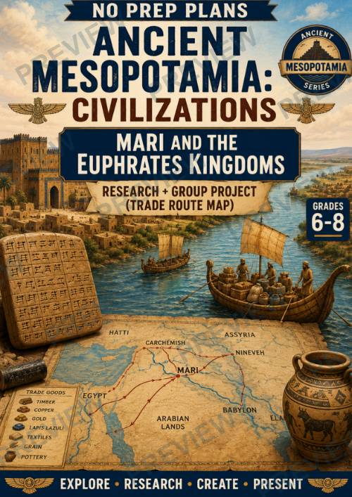
No Prep Plans: Ancient Mesopotamia: Civilizations--Mari & the Euphrates Kingdoms
No Prep Plans: Ancient Mesopotamia: Civilizations--Mari & the Euphrates Kingdoms
Research + Group Project (Trade Route Map)
Show students how rivers shaped civilizations! In this engaging, no-prep lesson, students investigate Mari, one of the most important trading cities of ancient Mesopotamia. Through research, students discover how Mari's strategic location along the Euphrates River allowed it to control trade between Mesopotamia and neighboring regions. They explore the city's enormous royal palace, its thousands of clay tablets, diplomatic relationships, and the valuable goods that traveled along ancient trade routes. Students then apply their learning by creating a detailed Trade Route Map illustrating how geography and commerce helped Mari become one of the ancient world's wealthiest kingdoms.
Perfect for Ancient History, World History, Social Studies, or Geography classes, this ready-to-use lesson combines historical inquiry, geography, economics, and map-making through an engaging project-based learning experience.
What's Included
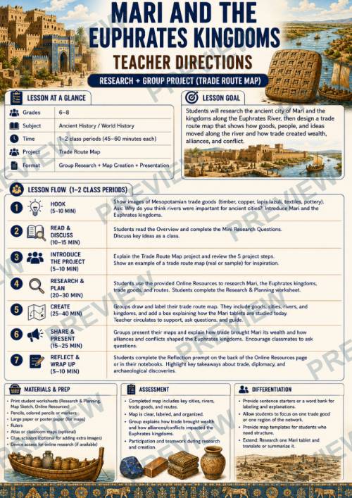
- Teacher Directions (1–2 class period options)
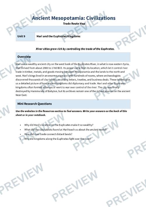
- Student Research & Notes Page
- Trade Route Map Planning Page
- Present & Reflect Page
- Full-color version
- Black-and-white version
- Print-and-go format
Students Will Learn About
- The location and importance of Mari
- The Euphrates River and ancient transportation
- How river trade connected distant civilizations
- Goods traded across Mesopotamia and beyond
- The Royal Palace of Mari
- The thousands of clay tablets discovered by archaeologists
- Diplomacy, treaties, and alliances between kingdoms
- Why control of trade routes created wealth and power
- Hammurabi's conquest of Mari
- The archaeological importance of Mari today
Perfect For
- Ancient History
- World History
- Middle School Social Studies
- Geography
- Economics Connections
- Project-Based Learning (PBL)
- Research Skills
- Cooperative Learning
- Map Skills
- Sub Plans
Part of a Complete Series
This lesson is part of the Ancient Mesopotamia: Civilizations series, which explores the rise of Mesopotamia's greatest cities, kingdoms, empires, and cultures through engaging research activities and collaborative projects.
Why Teachers Love It
- No-prep, print-and-go lesson
- Combines historical research with an engaging trade route mapping project
- Encourages teamwork, communication, and geographical thinking
- Develops research, map-reading, and presentation skills
- Connects geography, economics, diplomacy, and history in one activity
- Helps students understand how trade networks shaped early civilizations
- Flexible for 1–2 class periods
- Designed specifically for Grades 6–8
- Includes both full-color and black-and-white versions for easy classroom use
·
This resource is also part of a bundle with 9 other resources
Questions
No questions yet.
Ask a question
Your question goes to No Prep Plans. Answers show on this page, without your name or email.
Sent. The answer will show on this page.
Reviews
No reviews yet. Buyers can review a resource from their order page.
More from No Prep Plans

Campus Happiness Index
 No Prep Plans
$3.00

Book Labels
No Prep PlansFree

Big Band & Jazz Musicians Poster Set (1930s–1950s)
No Prep Plans$3.50

FREE Geography Learning Stations Signs & Choice Cards--Reusable
No Prep PlansFree

Refugee: Author's Craft, Themes & Evidence Bundle 10 Literary Analysis Lessons
No Prep Plans$29.25

Ancient World Turning Points Bundle | 10 Research + Group Project Lessons | 6-10
No Prep Plans$29.25
Request a quote or purchase order
For schools and districts. Your request goes to No Prep Plans, who will reply to your email with a quote or invoice.
Sent. The seller will reply to your email.
Report this listing
What your notice must include
The address of the listing on Classroom Clearinghouse (for example, the /p/ link).
https://classroomclearinghouse.com/p/qmg3va7qym
Your name, mailing address, phone number, and email.
How to report
Your name, company, mailing address, phone number, and email.
The address of each listing or store you are reporting.
https://classroomclearinghouse.com/p/qmg3va7qym
Copyright owners can also use the DMCA notice page.
Thanks. The report is in the review queue.