
Preview: 3 of 16 pages. Scroll sideways to see more.
$3.00
In your cart. View cart
No account needed. You get a download link.
| Grade | 6th Grade to 8th Grade |
|---|---|
| Resource type | Lesson Plans |
| Subject | History |
| Format | PDF, 16 pages |
| How was this made? | Created by hand, with images from generation tools |
| Updated | 2026-10-26 |
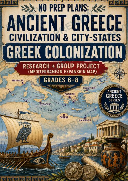
No Prep Plans: Ancient Greece Civilization & City-States --Greek Colonization
No Prep Plans: Ancient Greece Civilization & City-States
Greek Colonization
Research + Group Project (Mediterranean Expansion Map)
Grades 6–8
Take students on a journey across the ancient Mediterranean! In this engaging, no-prep lesson, students investigate how Greek settlers established hundreds of colonies between 750 and 550 BCE, transforming the Mediterranean and Black Sea into a network of thriving Greek communities. Students explore the reasons for colonization, trade routes, cultural exchange, and the lasting influence of Greek settlements before creating a collaborative Mediterranean Expansion Map.
Perfect for middle school world history, ancient civilizations, geography, social studies, or homeschool settings, this lesson combines historical inquiry, map skills, research, collaboration, and critical thinking in one ready-to-use resource.
What's Included
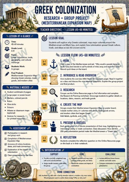
- Full teacher lesson guide (45–60 minute lesson)
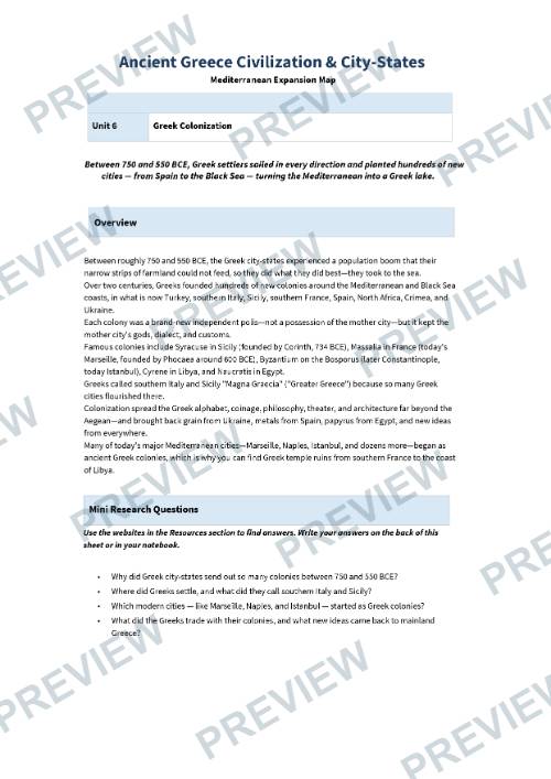
- Student overview with background reading
- Collaborative group project directions
- Curated online research resources
- Student research and vocabulary worksheet
- Mediterranean Expansion Map planning page
- Large printable blank Mediterranean outline map
- Reflection and learning synthesis worksheet
- Full-color student pages
- Black-and-white student pages for economical printing
Students Will
- Explain why Greek city-states established colonies.
- Investigate where Greek colonies were founded around the Mediterranean and Black Sea.
- Explore the relationship between mother cities and new colonies.
- Examine the spread of Greek language, culture, religion, architecture, and trade.
- Discover how many modern cities—including Marseille, Naples, and Istanbul—began as Greek colonies.
- Develop geography and mapping skills using a large outline map of the Mediterranean region.
- Create and present a collaborative Mediterranean Expansion Map.
- Reflect on how colonization shaped both the ancient and modern world.
Skills Developed
- Historical inquiry
- Map and geography skills
- Spatial reasoning
- Research skills
- Critical thinking
- Cause-and-effect analysis
- Collaboration
- Informational writing
- Historical interpretation
- Presentation skills
Perfect For
- Ancient Greece units
- Ancient Civilizations
- World History
- Social Studies
- Geography
- Middle School History
- Homeschool learning
- Early finishers
- Sub plans
- Project-based learning
Part of the Ancient Greece Civilization & City-States Series
This lesson is one title in a growing series exploring the civilizations, city-states, governments, leaders, warfare, philosophy, mythology, and cultural achievements that shaped Ancient Greece. Every lesson follows the same classroom-friendly format with teacher directions, student research pages, collaborative projects, printable worksheets, and both full-color and black-and-white versions for flexible classroom use.
This lesson also introduces a large printable outline map of the Mediterranean region, giving students an authentic opportunity to apply their geographical knowledge while tracing the remarkable expansion of Greek civilization. The concluding reflection page encourages students to analyze patterns of settlement, compare life in the colonies with mainland Greece, and connect Greek colonization to the spread of ideas and cultures throughout history, making it an ideal bridge to later lessons on the Persian Wars, Classical Greece, and Alexander the Great.
·
This resource is also part of a bundle with 9 other resources
Questions
No questions yet.
Ask a question
Your question goes to No Prep Plans. Answers show on this page, without your name or email.
Sent. The answer will show on this page.
Reviews
No reviews yet. Buyers can review a resource from their order page.
More from No Prep Plans

Campus Happiness Index
 No Prep Plans
$3.00

Book Labels
No Prep PlansFree

Big Band & Jazz Musicians Poster Set (1930s–1950s)
No Prep Plans$3.50

FREE Geography Learning Stations Signs & Choice Cards--Reusable
No Prep PlansFree

Refugee: Author's Craft, Themes & Evidence Bundle 10 Literary Analysis Lessons
No Prep Plans$29.25

Ancient World Turning Points Bundle | 10 Research + Group Project Lessons | 6-10
No Prep Plans$29.25
Request a quote or purchase order
For schools and districts. Your request goes to No Prep Plans, who will reply to your email with a quote or invoice.
Sent. The seller will reply to your email.
Report this listing
What your notice must include
The address of the listing on Classroom Clearinghouse (for example, the /p/ link).
https://classroomclearinghouse.com/p/qcb3afrt9a
Your name, mailing address, phone number, and email.
How to report
Your name, company, mailing address, phone number, and email.
The address of each listing or store you are reporting.
https://classroomclearinghouse.com/p/qcb3afrt9a
Copyright owners can also use the DMCA notice page.
Thanks. The report is in the review queue.