
Preview: 3 of 14 pages. Scroll sideways to see more.
$3.00
In your cart. View cart
No account needed. You get a download link.
| Grade | 4th Grade to 8th Grade |
|---|---|
| Resource type | Lesson Plans |
| Subject | History |
| Format | PDF, 14 pages |
| How was this made? | Created by hand, with images from generation tools |
| Updated | 2026-10-26 |
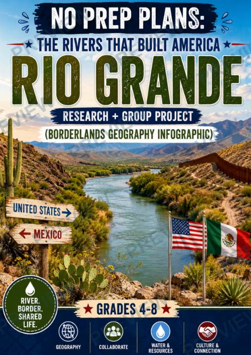
No Prep Plans: The Rivers That Built America – Rio Grande
No Prep Plans: The Rivers That Built America – Rio Grande
Research + Group Project (Borderlands Geography Infographic)
Take students on an engaging journey along one of North America's most significant waterways! In this inquiry-based research and project lesson, students explore how the Rio Grande serves as both a natural river and an international border, connecting landscapes, cultures, and communities across the United States and Mexico.
Working collaboratively, students investigate the river's geography, cultural importance, water resources, and international agreements before creating a Borderlands Geography Infographic that explains why this shared river is so vital to both nations.
Designed for Grades 4–8, this resource strengthens geography knowledge, research skills, collaboration, critical thinking, and global awareness while encouraging students to consider the importance of cooperation in managing shared natural resources.
What's Included
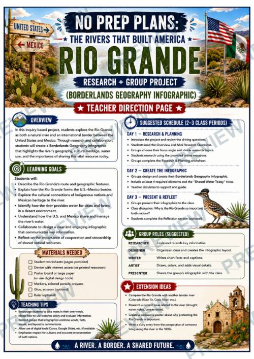
- 1 detailed Teacher Direction Page (designed for two 45–60 minute class periods)
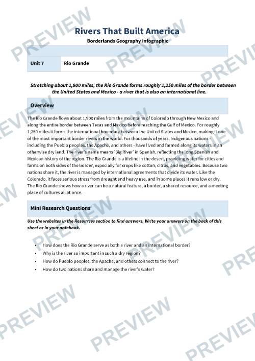
- Rio Grande Borderlands Geography Research Planner (color and black-and-white versions)
- Borderlands Geography Infographic Planning Sheet (color and black-and-white versions)
- Reflection & Shared Resources Page (color and black-and-white versions)
- Curated list of free online research resources to help students begin their investigation quickly and confidently
Students Will:
- Research the geography and course of the Rio Grande
- Learn how the river forms a large portion of the international border between the United States and Mexico
- Explore the history and contributions of Pueblo peoples, the Apache, and other Indigenous communities connected to the river
- Investigate why the Rio Grande is a critical source of water for cities, farms, and ecosystems in an arid region
- Examine how the United States and Mexico cooperate to share and manage the river's water resources
- Analyze the impacts of drought and increasing water demands on the river
- Collaborate to design and organize a Borderlands Geography Infographic
- Reflect on the importance of international cooperation and responsible stewardship of shared natural resources
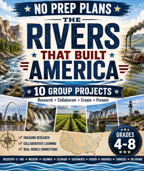
This lesson is part of The Rivers That Built America series, a collection of inquiry-based geography and history projects that examine the waterways that shaped the United States through exploration, transportation, settlement, industry, environmental stewardship, and cultural connections.
Perfect For:
- U.S. Geography
- World Geography
- Social Studies
- Environmental Science
- Project-Based Learning (PBL)
- Cooperative Learning
- Research Skills
- Homeschool and Classroom Use
- Extension or Enrichment Activities
This lesson is designed to serve as a companion to your existing curriculum, textbook, or social studies program. It is intended to enrich and reinforce instruction through research, discussion, and project-based learning rather than replace a comprehensive curriculum.
·
This resource is also part of 2 bundles
Questions
No questions yet.
Ask a question
Your question goes to No Prep Plans. Answers show on this page, without your name or email.
Sent. The answer will show on this page.
Reviews
No reviews yet. Buyers can review a resource from their order page.
More from No Prep Plans

Campus Happiness Index
 No Prep Plans
$3.00

Book Labels
No Prep PlansFree

Big Band & Jazz Musicians Poster Set (1930s–1950s)
No Prep Plans$3.50

FREE Geography Learning Stations Signs & Choice Cards--Reusable
No Prep PlansFree

Refugee: Author's Craft, Themes & Evidence Bundle 10 Literary Analysis Lessons
No Prep Plans$29.25

Ancient World Turning Points Bundle | 10 Research + Group Project Lessons | 6-10
No Prep Plans$29.25
Request a quote or purchase order
For schools and districts. Your request goes to No Prep Plans, who will reply to your email with a quote or invoice.
Sent. The seller will reply to your email.
Report this listing
What your notice must include
The address of the listing on Classroom Clearinghouse (for example, the /p/ link).
https://classroomclearinghouse.com/p/gky5m9mqb6
Your name, mailing address, phone number, and email.
How to report
Your name, company, mailing address, phone number, and email.
The address of each listing or store you are reporting.
https://classroomclearinghouse.com/p/gky5m9mqb6
Copyright owners can also use the DMCA notice page.
Thanks. The report is in the review queue.