
Preview: 3 of 14 pages. Scroll sideways to see more.
$3.00
In your cart. View cart
No account needed. You get a download link.
| Grade | 6th Grade to 10th Grade |
|---|---|
| Resource type | Projects |
| Subject | History |
| Format | PDF, 14 pages |
| How was this made? | Created by hand, with images from generation tools |
| Updated | 2026-10-26 |
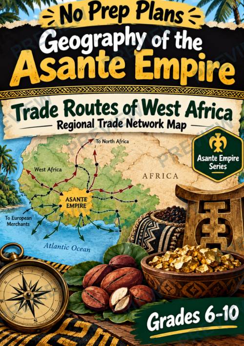
Geography of the Asante Empire: Trade Routes of West Africa — Regional Trade Map
Geography of the Asante Empire: Trade Routes of West Africa — Regional Trade Network Map | Grades 6–10
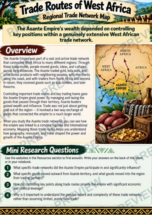
Explore how the Asante Empire connected to extensive West African trade networks with this ready-to-use No Prep Plans geography lesson. Students investigate coastal and interior trade routes, goods moving into and out of Asante territory, and how controlling important trade points helped the empire gain economic and political power. Students apply their research by creating a Regional Trade Network Map.
What’s Included
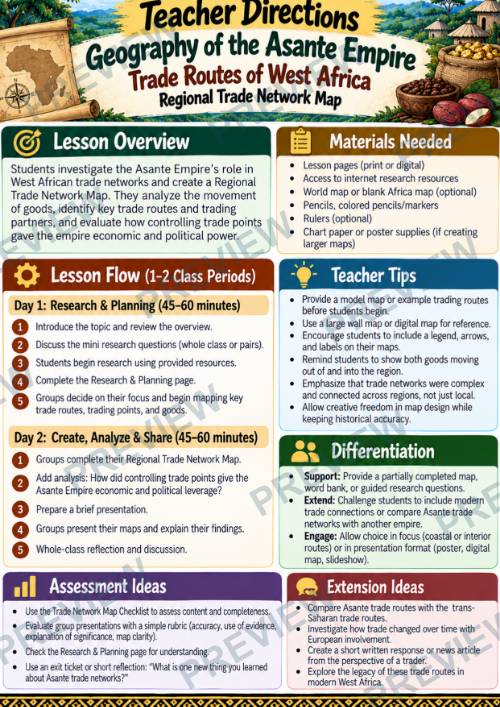
- Teacher Directions
- Overview + Mini Research Questions
- 5-Step Group Activity
- Online Research Resources
- 3 Research, Analysis & Planning Pages
- Regional Trade Network Map Planner
- Color + Black & White Versions
Students Will Explore
- Coastal and interior trade routes
- Regional and international trade connections
- Goods moving into and out of Asante territory
- Trading partners and destinations
- Key trading points
- Trade routes and geographic location
- Economic and political leverage
- Connections between trade, wealth, and power
Why Teachers Love This Resource
- Designed for 1–2 class periods of 45–60 minutes
- Combines geography, history, research, and map skills
- Moves students from research to deeper geographic analysis
- Examines trade → control → wealth → power
- Includes structured organizers and planning support
- Culminates in a Regional Trade Network Map
- Includes color and printer-friendly black & white versions
- Appropriate for Grades 6–10
Great For
- Asante Empire studies
- African History
- West African Geography
- World History
- Trade routes and networks
- Economic geography
- Map skills
- Collaborative learning
Follow Our Store & Save!
Curriculum Disclaimer
This resource is an independently created educational product designed to support classroom instruction. It is not affiliated with, endorsed by, or officially connected to any specific curriculum organization, examination board, publisher, or educational institution. Teachers should review and adapt the material as needed to meet their curriculum requirements and student needs.
·
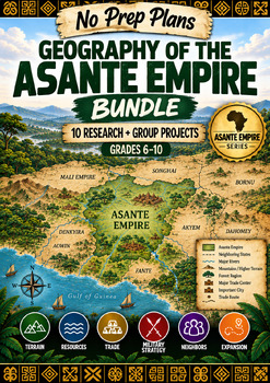
This resource is also part of a bundle with 9 other resources
Questions
No questions yet.
Ask a question
Your question goes to No Prep Plans. Answers show on this page, without your name or email.
Sent. The answer will show on this page.
Reviews
No reviews yet. Buyers can review a resource from their order page.
More from No Prep Plans

Campus Happiness Index
 No Prep Plans
$3.00

Book Labels
No Prep PlansFree

Big Band & Jazz Musicians Poster Set (1930s–1950s)
No Prep Plans$3.50

FREE Geography Learning Stations Signs & Choice Cards--Reusable
No Prep PlansFree

Refugee: Author's Craft, Themes & Evidence Bundle 10 Literary Analysis Lessons
No Prep Plans$29.25

Ancient World Turning Points Bundle | 10 Research + Group Project Lessons | 6-10
No Prep Plans$29.25
Request a quote or purchase order
For schools and districts. Your request goes to No Prep Plans, who will reply to your email with a quote or invoice.
Sent. The seller will reply to your email.
Report this listing
What your notice must include
The address of the listing on Classroom Clearinghouse (for example, the /p/ link).
https://classroomclearinghouse.com/p/gkrbmuus8j
Your name, mailing address, phone number, and email.
How to report
Your name, company, mailing address, phone number, and email.
The address of each listing or store you are reporting.
https://classroomclearinghouse.com/p/gkrbmuus8j
Copyright owners can also use the DMCA notice page.
Thanks. The report is in the review queue.