
Preview: 3 of 14 pages. Scroll sideways to see more.
$3.25
In your cart. View cart
No account needed. You get a download link.
| Grade | 6th Grade to 10th Grade |
|---|---|
| Resource type | Projects |
| Subject | History |
| Format | PDF, 14 pages |
| How was this made? | Created by hand, with images from generation tools |
| Updated | 2026-10-26 |
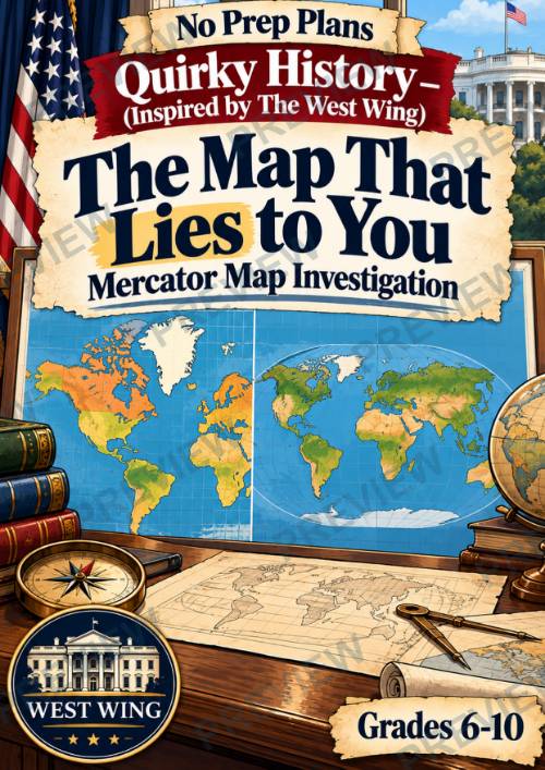
Quirky History: The Map That Lies to You Mercator Map Investigation | West Wing
Quirky History: The Map That Lies to YouMercator Map Investigation | Inspired by The West Wing | Grades 6–10
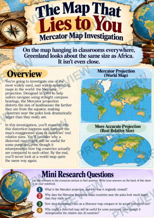
On the map hanging in classrooms everywhere, Greenland looks about the same size as Africa. It isn’t even close.
In this Quirky History investigation, students uncover why one of the world’s most familiar maps gives us a surprisingly distorted picture of Earth. Students explore the Mercator projection, why it was created for navigation, and why landmasses appear increasingly exaggerated as they move farther from the equator.
Rather than simply learning that the map is “wrong,” students investigate a much more interesting question: Why would we continue using a distorted map? Through real-size comparisons, projection analysis, and a collaborative investigation, students discover that every flat map makes compromises—and that the best map depends on what you need it to do.
What’s Included
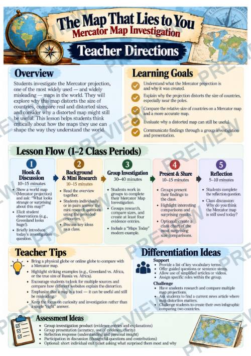
- Teacher Directions & Historical Overview
- Mini Research Questions
- 5-Step Group Investigation
- 3 Student Research, Analysis & Planning Pages
- Color + Black & White Student Pages
- Online Research Resources
- Differentiation & Assessment Ideas
- Disclaimers & Credits
Why Teachers Love This
- No prep and ready to use
- Turns an everyday classroom map into an engaging investigation
- Builds geographic and visual literacy
- Moves beyond memorizing map projections to understanding why distortion happens
- Uses surprising real-world size comparisons
- Helps students distinguish between accuracy, usefulness, and purpose
- Encourages comparison of Mercator with alternative projections
- Develops evidence-based reasoning and critical thinking
- Includes structured research, deeper analysis, and project planning
- Flexible for individual, partner, or small-group use
- Works well as a stand-alone geography lesson, enrichment activity, or sub plan
Perfect For
- World Geography
- Map Skills & Cartography
- Human Geography
- Geography Enrichment
- Critical Thinking
- Visual & Media Literacy
- Research Skills
- Map Projection Lessons
- Sub Plans
Students culminate the lesson by building a Mercator Map Investigation with at least four entries explaining distortion or revealing surprising size comparisons. They also add a “Maps Today” example showing a modern situation where accurate relative size matters and share the comparison that surprised them most.
Please Note: This is an independent educational resource inspired by historical and civic topics referenced in The West Wing. It is not affiliated with, endorsed by, or connected to NBC, Warner Bros., or the creators, producers, or distributors of The West Wing.
·
This resource is also part of a bundle with 9 other resources
Questions
No questions yet.
Ask a question
Your question goes to No Prep Plans. Answers show on this page, without your name or email.
Sent. The answer will show on this page.
Reviews
No reviews yet. Buyers can review a resource from their order page.
More from No Prep Plans

Campus Happiness Index
 No Prep Plans
$3.00

Book Labels
No Prep PlansFree

Big Band & Jazz Musicians Poster Set (1930s–1950s)
No Prep Plans$3.50

FREE Geography Learning Stations Signs & Choice Cards--Reusable
No Prep PlansFree

Refugee: Author's Craft, Themes & Evidence Bundle 10 Literary Analysis Lessons
No Prep Plans$29.25

Ancient World Turning Points Bundle | 10 Research + Group Project Lessons | 6-10
No Prep Plans$29.25
Request a quote or purchase order
For schools and districts. Your request goes to No Prep Plans, who will reply to your email with a quote or invoice.
Sent. The seller will reply to your email.
Report this listing
What your notice must include
The address of the listing on Classroom Clearinghouse (for example, the /p/ link).
https://classroomclearinghouse.com/p/g4s6cj3kju
Your name, mailing address, phone number, and email.
How to report
Your name, company, mailing address, phone number, and email.
The address of each listing or store you are reporting.
https://classroomclearinghouse.com/p/g4s6cj3kju
Copyright owners can also use the DMCA notice page.
Thanks. The report is in the review queue.