
Preview: 3 of 14 pages. Scroll sideways to see more.
$3.00
In your cart. View cart
No account needed. You get a download link.
| Grade | 6th Grade to 8th Grade |
|---|---|
| Resource type | Projects |
| Subject | History |
| Format | PDF, 14 pages |
| How was this made? | Created by hand, with images from generation tools |
| Updated | 2026-10-26 |
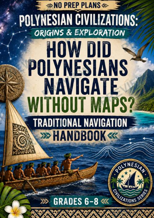
Polynesian Civilizations: Origins & Exploration How Did Polynesians Navigate
Polynesian Civilizations: Origins & ExplorationHow Did Polynesians Navigate Without Maps? — Traditional Navigation Handbook Grades 6–8 | No Prep | Geography + History + Inquiry-Based Project
How did Polynesian navigators cross thousands of miles of open ocean without maps, compasses, GPS, or modern instruments?
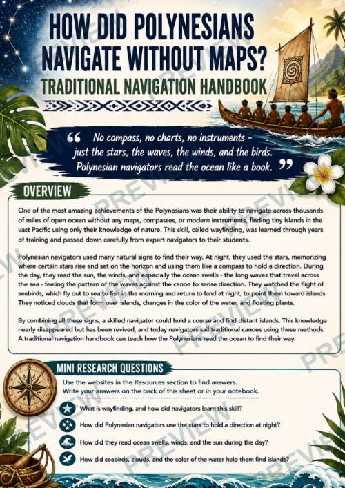
In this engaging inquiry-based lesson, students investigate the remarkable science and skill of traditional Polynesian wayfinding. They discover how expert navigators learned to read the stars, ocean swells, winds, sun, seabirds, clouds, water, and other natural signs to maintain direction and locate tiny islands across the vast Pacific.
Students then put their research to work by creating a Traditional Navigation Handbook that teaches others how Polynesian navigators could truly “read the ocean like a book.”
What's Included
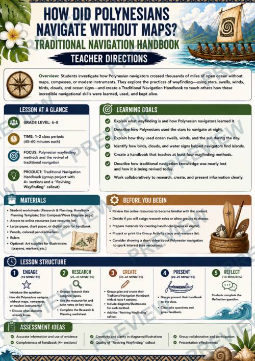
- Teacher Directions for 1–2 class periods
- Traditional Polynesian navigation overview
- Mini Research Questions
- 5-step Traditional Navigation Handbook group activity
- Online research resources
- Understanding the Research: Reading the Ocean student organizer
- Planning Our Traditional Navigation Handbook worksheet
- Digging Deeper: Think Like a Navigator analysis activity
- Full-color student pages
- Printer-friendly black-and-white student pages
Students Explore
- What wayfinding is and how navigators learned it
- How stars could help navigators maintain direction at night
- How ocean swells provided directional information
- How the sun and winds contributed to navigation
- How seabirds could provide clues about nearby land
- How clouds, water changes, and floating plants could indicate islands
- Why navigators relied on multiple natural clues
- How traditional navigation knowledge was passed between generations
- How wayfinding has been revived and continues today
Understand → Plan → Apply & Analyze
Students first organize their research about natural navigation methods, then plan their handbook and visual diagrams. Finally, they are placed in the role of a navigator and must interpret combinations of natural signs to make navigation decisions.
Students consider questions such as: What might a familiar star reveal? What could a steady ocean swell tell you? What might seabirds or stationary clouds suggest? And most importantly, why would an expert navigator combine several clues rather than trust only one?
Builds Historical & Geographic Thinking
Students practice research, geographic reasoning, evidence analysis, observation, inference, cause and effect, collaboration, visual communication, and evidence-based explanation while gaining a deeper appreciation for the knowledge and training required for Polynesian ocean exploration.
Grades: 6–8
Time: 1–2 class periods of approximately 45–60 minutes
Format: Research, collaborative project, visual design, analysis, and presentation
Perfect for
- World History
- Geography
- Ancient Civilizations
- Pacific Studies
- Polynesian Civilizations
No compass. No charts. No modern instruments. Just generations of knowledge—and an extraordinary ability to read the Pacific.
·
This resource is also part of a bundle with 9 other resources
Questions
No questions yet.
Ask a question
Your question goes to No Prep Plans. Answers show on this page, without your name or email.
Sent. The answer will show on this page.
Reviews
No reviews yet. Buyers can review a resource from their order page.
More from No Prep Plans

Campus Happiness Index
 No Prep Plans
$3.00

Book Labels
No Prep PlansFree

Big Band & Jazz Musicians Poster Set (1930s–1950s)
No Prep Plans$3.50

FREE Geography Learning Stations Signs & Choice Cards--Reusable
No Prep PlansFree

Refugee: Author's Craft, Themes & Evidence Bundle 10 Literary Analysis Lessons
No Prep Plans$29.25

Ancient World Turning Points Bundle | 10 Research + Group Project Lessons | 6-10
No Prep Plans$29.25
Request a quote or purchase order
For schools and districts. Your request goes to No Prep Plans, who will reply to your email with a quote or invoice.
Sent. The seller will reply to your email.
Report this listing
What your notice must include
The address of the listing on Classroom Clearinghouse (for example, the /p/ link).
https://classroomclearinghouse.com/p/etcg8af4jq
Your name, mailing address, phone number, and email.
How to report
Your name, company, mailing address, phone number, and email.
The address of each listing or store you are reporting.
https://classroomclearinghouse.com/p/etcg8af4jq
Copyright owners can also use the DMCA notice page.
Thanks. The report is in the review queue.