
Preview: 3 of 18 pages. Scroll sideways to see more.
$3.99
In your cart. View cart
No account needed. You get a download link.
| Grade | 6th Grade to 8th Grade |
|---|---|
| Resource type | Lesson Plans |
| Subject | History |
| Format | PDF, 18 pages |
| How was this made? | Created by hand, with images from generation tools |
| Updated | 2026-10-26 |
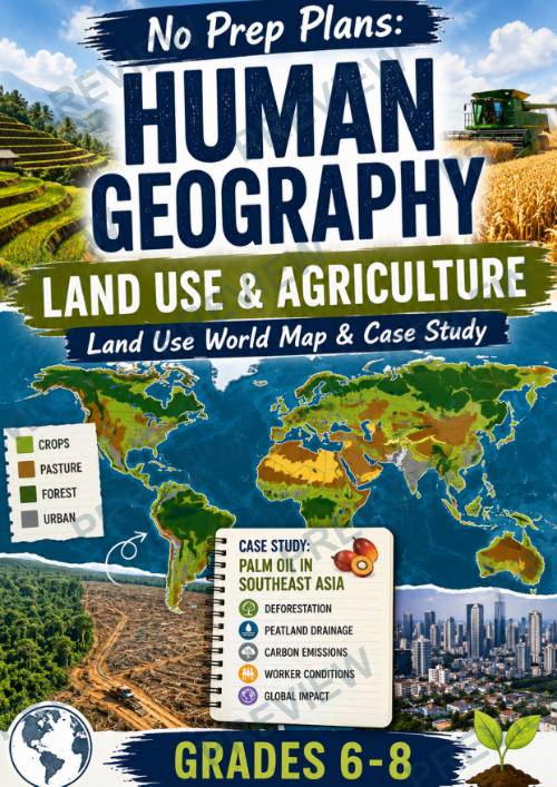
No Prep Plans: Human Geography – Land Use & Agriculture
No Prep Plans: Human Geography – Land Use & Agriculture
Land Use World Map & Case Study
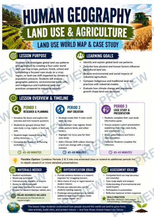
Help students explore one of the world's biggest geographical questions: How do humans use Earth's land—and what are the consequences? In this engaging inquiry-based lesson, students investigate global land-use patterns, create a color-coded world map, research a real-world agricultural or environmental case study, and evaluate how climate change and population growth are reshaping landscapes across the globe.
Students examine cropland, pasture, forests, and urban areas while investigating important topics such as deforestation, irrigation, food production, Indigenous land management, and sustainable agriculture. Through research, mapping, presentation, and reflection, they develop a deeper understanding of the complex relationship between people and the environment.
What's Included
- Teacher Directions (2–3 class periods; 45–60 minutes each)
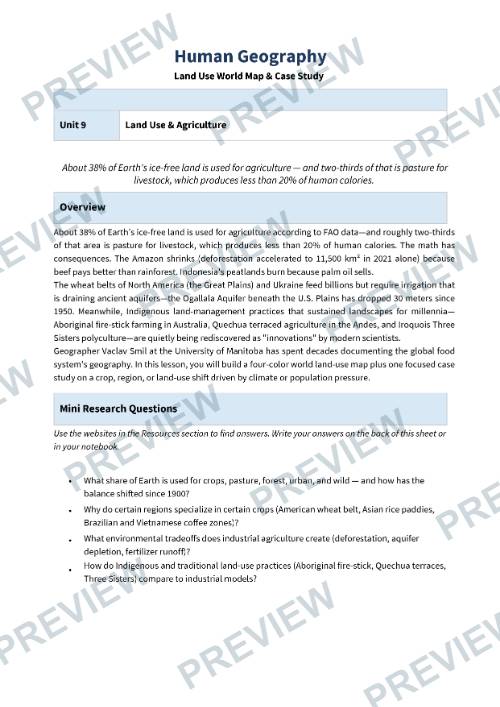
- Research & Planning Worksheet
- Full-page World Land Use Map Template
- Case Study Investigation Worksheet
- Presentation Planner
- Reflection & Looking Ahead Worksheet
- Full-color versions
- Black-and-white versions
- Print-ready PDF
Students Will Learn About
- Major global land-use patterns
- Cropland, pasture, forests, and urban development
- Agricultural regions around the world
- Climate and physical geography influences on farming
- Environmental impacts of land-use change
- Deforestation, irrigation, and urban expansion
- Indigenous and traditional land-management practices
- Sustainable land use and future challenges
Students Will
- Research global land-use categories
- Create a color-coded world land-use map
- Investigate a real-world agricultural or environmental case study
- Analyze climate-related land-use changes
- Present findings using maps and evidence
- Reflect on sustainable land-use decisions
- Predict how land use may change by 2050
Perfect For
- Human Geography
- World Geography
- Environmental Science
- Social Studies
- Global Studies
- Agriculture Units
- Climate Change Lessons
- Mapping Activities
- Inquiry-Based Learning
- Research Projects
- Middle School Geography
- Sub Plans
Why Teachers Love It
- Ready-to-use, no-prep lesson
- Large printable world map template included
- Combines geography, environmental science, and critical thinking
- Encourages inquiry, collaboration, and discussion
- Flexible for individual, partner, or small-group learning
- Develops research, mapping, presentation, and communication skills
- Includes both full-color and black-and-white student pages for easy printing
Students finish this lesson with a deeper understanding of how the world's land is shared among agriculture, forests, cities, and natural ecosystems—and how today's land-use decisions will shape the future of our planet.
·
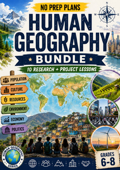
This resource is also part of a bundle with 9 other resources
Questions
No questions yet.
Ask a question
Your question goes to No Prep Plans. Answers show on this page, without your name or email.
Sent. The answer will show on this page.
Reviews
No reviews yet. Buyers can review a resource from their order page.
More from No Prep Plans

Campus Happiness Index
 No Prep Plans
$3.00

Book Labels
No Prep PlansFree

Big Band & Jazz Musicians Poster Set (1930s–1950s)
No Prep Plans$3.50

FREE Geography Learning Stations Signs & Choice Cards--Reusable
No Prep PlansFree

Refugee: Author's Craft, Themes & Evidence Bundle 10 Literary Analysis Lessons
No Prep Plans$29.25

Ancient World Turning Points Bundle | 10 Research + Group Project Lessons | 6-10
No Prep Plans$29.25
Request a quote or purchase order
For schools and districts. Your request goes to No Prep Plans, who will reply to your email with a quote or invoice.
Sent. The seller will reply to your email.
Report this listing
What your notice must include
The address of the listing on Classroom Clearinghouse (for example, the /p/ link).
https://classroomclearinghouse.com/p/e7cgy3qfgs
Your name, mailing address, phone number, and email.
How to report
Your name, company, mailing address, phone number, and email.
The address of each listing or store you are reporting.
https://classroomclearinghouse.com/p/e7cgy3qfgs
Copyright owners can also use the DMCA notice page.
Thanks. The report is in the review queue.