
Preview: 3 of 16 pages. Scroll sideways to see more.
$3.50
In your cart. View cart
No account needed. You get a download link.
| Grade | 6th Grade to 10th Grade |
|---|---|
| Resource type | Lesson Plans |
| Subject | History |
| Format | PDF, 16 pages |
| How was this made? | Created by hand, with images from generation tools |
| Updated | 2026-10-26 |
No Prep Plans | Byzantine Empire Geography: Climate & Agriculture | 6-10th
No Prep Plans | Byzantine Empire Geography: Climate & Agriculture | Farming Regions Guide | Grades 6–10
Explore how climate and physical geography shaped agriculture, food supply, and trade in the Byzantine Empire with this no-prep research and collaborative project. Students investigate specific agricultural regions, examine why different climates supported different crops, and trace how agricultural production helped feed major population centers such as Constantinople.
Students move beyond simply identifying crops by examining the relationship between climate → growing conditions → regional production → food supply → trade. The culminating Farming Regions Guide asks students to apply their research to specific regions and explain how agricultural geography influenced the wider Byzantine economy.
WHAT’S INCLUDED
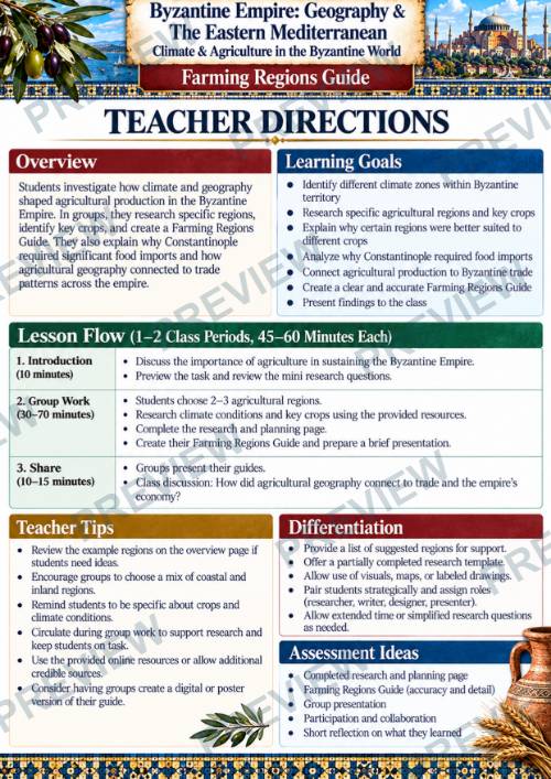
- Teacher Directions
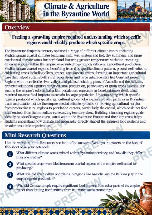
- Overview + Mini Research Questions
- 5-Step Group Activity: Farming Regions Guide
- Online Research Resources
- Agricultural Regions Research & Evidence
- Climate, Crops & Regional Production Analysis
- From Farm to Constantinople: Food Supply & Trade
- Final Farming Regions Guide
- Color + Black-and-White Student Pages
STUDENTS WILL
- Identify and research 2–3 agricultural regions of the Byzantine Empire
- Compare climate and geographic conditions across different regions
- Investigate important crops including olives, grapes, and grains
- Analyze why certain environments were better suited to particular crops
- Examine the importance of fertile plains and river valleys
- Trace agricultural goods from producing regions to population centers
- Explain why Constantinople depended on food imports
- Connect agricultural surplus to transportation and trade
- Consider the relationship between agricultural production and taxation
- Create and present a Farming Regions Guide supported by geographic evidence
PERFECT FOR
- Byzantine Empire Units
- Medieval World History
- World Geography
- Eastern Mediterranean Geography
- Climate & Agriculture
- Human-Environment Interaction
- Economic Geography
- Trade & Food Supply
- Research and Inquiry
- Collaborative Projects
- Grades 6–10
FOLLOW & SAVE 10%
·
This resource is also part of a bundle with 9 other resources
Questions
No questions yet.
Ask a question
Your question goes to No Prep Plans. Answers show on this page, without your name or email.
Sent. The answer will show on this page.
Reviews
No reviews yet. Buyers can review a resource from their order page.
More from No Prep Plans

Campus Happiness Index
 No Prep Plans
$3.00

Book Labels
No Prep PlansFree

Big Band & Jazz Musicians Poster Set (1930s–1950s)
No Prep Plans$3.50

FREE Geography Learning Stations Signs & Choice Cards--Reusable
No Prep PlansFree

Refugee: Author's Craft, Themes & Evidence Bundle 10 Literary Analysis Lessons
No Prep Plans$29.25

Ancient World Turning Points Bundle | 10 Research + Group Project Lessons | 6-10
No Prep Plans$29.25
Request a quote or purchase order
For schools and districts. Your request goes to No Prep Plans, who will reply to your email with a quote or invoice.
Sent. The seller will reply to your email.
Report this listing
What your notice must include
The address of the listing on Classroom Clearinghouse (for example, the /p/ link).
https://classroomclearinghouse.com/p/ddx9cyta55
Your name, mailing address, phone number, and email.
How to report
Your name, company, mailing address, phone number, and email.
The address of each listing or store you are reporting.
https://classroomclearinghouse.com/p/ddx9cyta55
Copyright owners can also use the DMCA notice page.
Thanks. The report is in the review queue.