
Preview: 3 of 12 pages. Scroll sideways to see more.
$3.00
In your cart. View cart
No account needed. You get a download link.
| Grade | 6th Grade to 10th Grade |
|---|---|
| Resource type | Lesson Plans |
| Subject | History |
| Format | PDF, 12 pages |
| How was this made? | Created by hand, with images from generation tools |
| Updated | 2026-10-26 |
No Prep Sub Plans: Mapping Skills: Creating a Thematic Map
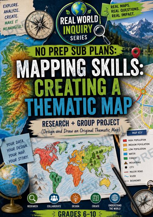
No Prep Sub Plans: Mapping Skills: Creating a Thematic Map Real World Inquiry Series Research + Group Project | Grades 6–10
Help students turn data into visual stories through this engaging geography and data-analysis inquiry project! In this lesson, students research a topic, gather information, and design an original thematic map using titles, legends, symbols, scales, and geographic patterns.
Students explore how maps communicate information, analyze patterns across regions, and create their own visually organized thematic maps using real-world data and creative design choices.
This resource is perfect for geography, social studies, humanities, STEM, environmental science, or cross-curricular inquiry classrooms.
What’s Included
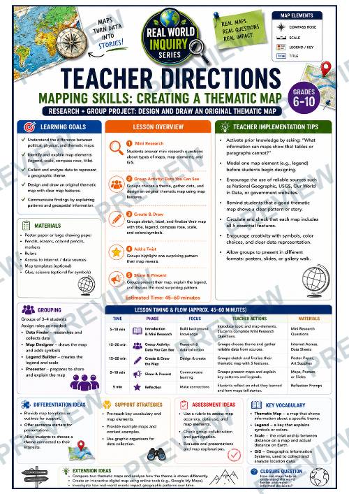
- Teacher Directions Page
- Lesson Timing & Implementation Guide
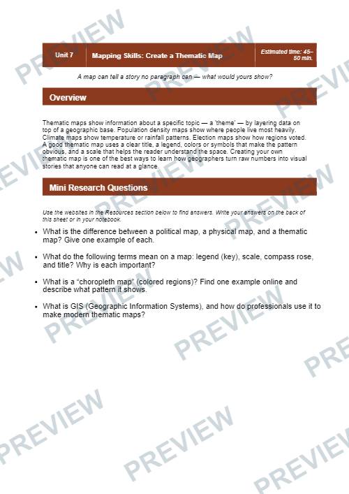
- Mini Research Questions
- Online Resource Suggestions
- Thematic Map Planning Page
- Large Student Map Sketch Space
- Reflection & “Map Twist” Activities
- Color Student Planning Version
- Black & White Print-Friendly Version
Students Will
- Compare political, physical, and thematic maps
- Analyze patterns shown through maps and data
- Research geographic information and themes
- Design an original thematic map
- Create legends, scales, compass roses, and symbols
- Interpret geographic patterns and trends
- Communicate findings visually and verbally
Perfect For
- Geography Units
- Social Studies
- Humanities
- STEM & Cross-Curricular Projects
- Inquiry-Based Learning
- Sub Plans
- Mapping Skills Practice
- Group Projects
- Early Finishers
Why Teachers Love This Resource
- Encourages creativity and real-world thinking
- Flexible for many geographic topics and themes
- Easy for substitute teachers to implement
- Combines research with visual design
- Strong balance of geography and data literacy
- Supports collaborative learning
- Gives students meaningful ownership of their projects
This resource is part of the Real World Inquiry Series, a collection of collaborative inquiry projects designed to help students connect academic skills to deeper real-world thinking and problem solving.
·
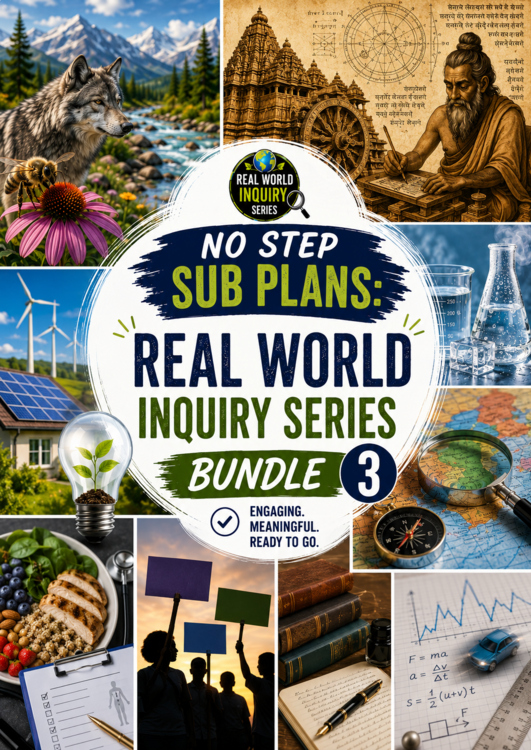
This resource is also part of 2 bundles
Questions
No questions yet.
Ask a question
Your question goes to No Prep Plans. Answers show on this page, without your name or email.
Sent. The answer will show on this page.
Reviews
No reviews yet. Buyers can review a resource from their order page.
More from No Prep Plans

Campus Happiness Index
 No Prep Plans
$3.00

Book Labels
No Prep PlansFree

Big Band & Jazz Musicians Poster Set (1930s–1950s)
No Prep Plans$3.50

FREE Geography Learning Stations Signs & Choice Cards--Reusable
No Prep PlansFree

Refugee: Author's Craft, Themes & Evidence Bundle 10 Literary Analysis Lessons
No Prep Plans$29.25

Ancient World Turning Points Bundle | 10 Research + Group Project Lessons | 6-10
No Prep Plans$29.25
Request a quote or purchase order
For schools and districts. Your request goes to No Prep Plans, who will reply to your email with a quote or invoice.
Sent. The seller will reply to your email.
Report this listing
What your notice must include
The address of the listing on Classroom Clearinghouse (for example, the /p/ link).
https://classroomclearinghouse.com/p/d9t27tqdbq
Your name, mailing address, phone number, and email.
How to report
Your name, company, mailing address, phone number, and email.
The address of each listing or store you are reporting.
https://classroomclearinghouse.com/p/d9t27tqdbq
Copyright owners can also use the DMCA notice page.
Thanks. The report is in the review queue.