
Preview: 3 of 14 pages. Scroll sideways to see more.
$3.00
In your cart. View cart
No account needed. You get a download link.
| Grade | 6th Grade to 8th Grade |
|---|---|
| Resource type | Projects |
| Subject | Geography |
| Format | PDF, 14 pages |
| How was this made? | Created by hand, with images from generation tools |
| Updated | 2026-10-26 |
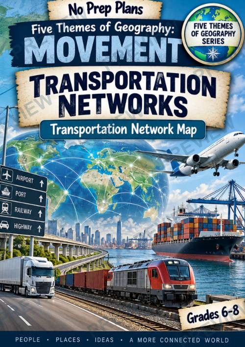
Five Themes of Geography: Movement — Transportation Networks
Five Themes of Geography: Movement — Transportation Networks
Help students understand how roads, railways, ports, and airports form connected transportation networks that move people and goods efficiently. In this no-prep geography lesson, students investigate a real transportation network, identify its major hubs and routes, and analyze how connectivity can influence economic and population growth.
Students work as geographers to create a Transportation Network Map, showing how a real highway, railway, airline, or other transportation system connects people and places.
What’s Included
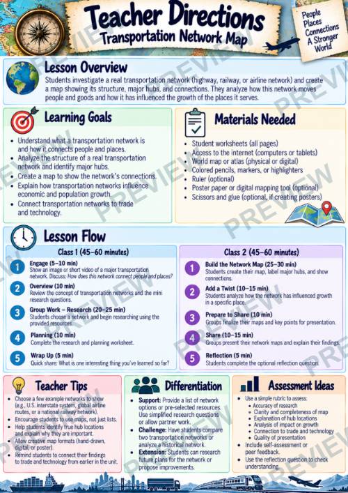
- Teacher Directions
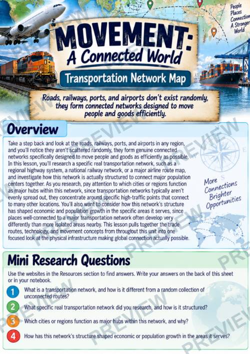
- Student Overview & Mini Research Questions
- 5-Step Group Activity
- Understanding Your Transportation Network
- Planning Your Transportation Network Map
- Digging Deeper: Why Do Transportation Networks Matter?
- Transportation Network Map project
- Full-color student pages
- Black-and-white student pages
Students Will
- Investigate a real transportation network
- Identify major hubs, routes, and connections
- Examine how networks move people and goods
- Create a map showing the structure of a transportation network
- Compare well-connected and less-connected places
- Analyze connections between transportation and growth
- Explore how transportation networks support trade
- Consider how technology improves transportation networks
- Use research evidence to support geographic conclusions
Why Teachers Love This
- No prep and ready to use
- Designed for 1–2 class periods of 45–60 minutes
- Combines research, mapping, and geographic analysis
- Moves beyond simply identifying transportation types to examining how networks actually function
- Builds connections between transportation, trade, technology, and growth
- Structured organizers provide plenty of student work and writing space
- Includes color and printer-friendly versions
- Flexible for individual, partner, or group work
Perfect For
- Five Themes of Geography
- Movement
- Transportation Networks
- Human Geography
- Transportation & Infrastructure
- Trade & Global Connections
- Geography Projects
- Enrichment or Sub Plans
Part of the Five Themes of Geography Series
This lesson is part of a larger Five Themes of Geography Series designed to help students explore Location, Place, Human-Environment Interaction, Movement, and Region through focused, ready-to-use investigations and projects.
Each resource can be taught independently or combined with other lessons in the series to build a more complete geography unit. The consistent format gives students repeated opportunities to apply geographic thinking through research, analysis, mapping, collaboration, and real-world connections.
This Transportation Networks lesson focuses specifically on Movement, helping students see that roads, railways, ports, airports, and other transportation systems are not isolated routes—they form interconnected networks that shape how people and goods move and how places grow and connect.
Please Note: This resource is an independently created educational resource and is not affiliated with or endorsed by any specific curriculum publisher or organization.
·
This resource is also part of a bundle with 9 other resources
Questions
No questions yet.
Ask a question
Your question goes to No Prep Plans. Answers show on this page, without your name or email.
Sent. The answer will show on this page.
Reviews
No reviews yet. Buyers can review a resource from their order page.
More from No Prep Plans

Campus Happiness Index
 No Prep Plans
$3.00

Book Labels
No Prep PlansFree

Big Band & Jazz Musicians Poster Set (1930s–1950s)
No Prep Plans$3.50

FREE Geography Learning Stations Signs & Choice Cards--Reusable
No Prep PlansFree

Refugee: Author's Craft, Themes & Evidence Bundle 10 Literary Analysis Lessons
No Prep Plans$29.25

Ancient World Turning Points Bundle | 10 Research + Group Project Lessons | 6-10
No Prep Plans$29.25
Request a quote or purchase order
For schools and districts. Your request goes to No Prep Plans, who will reply to your email with a quote or invoice.
Sent. The seller will reply to your email.
Report this listing
What your notice must include
The address of the listing on Classroom Clearinghouse (for example, the /p/ link).
https://classroomclearinghouse.com/p/8vj297myue
Your name, mailing address, phone number, and email.
How to report
Your name, company, mailing address, phone number, and email.
The address of each listing or store you are reporting.
https://classroomclearinghouse.com/p/8vj297myue
Copyright owners can also use the DMCA notice page.
Thanks. The report is in the review queue.