
Preview: 3 of 14 pages. Scroll sideways to see more.
$3.25
In your cart. View cart
No account needed. You get a download link.
| Grade | 6th Grade to 8th Grade |
|---|---|
| Resource type | Projects |
| Subject | History |
| Format | PDF, 14 pages |
| How was this made? | Created by hand, with images from generation tools |
| Updated | 2026-10-26 |
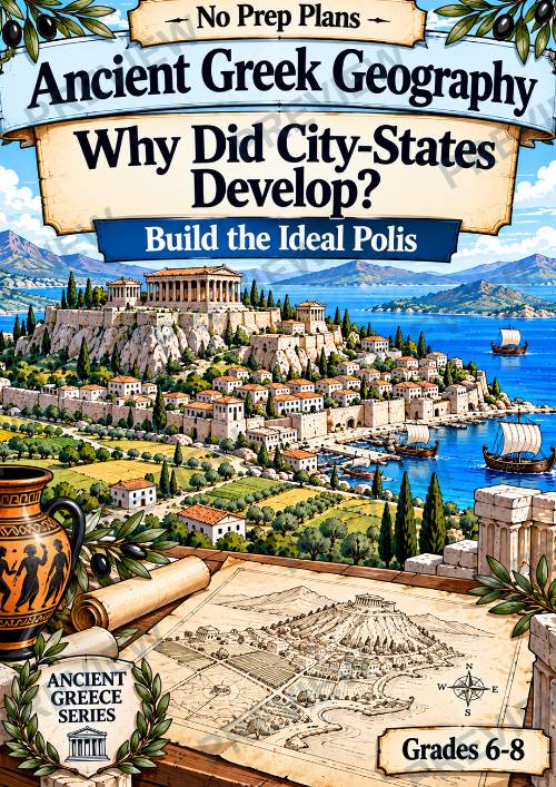
Ancient Greek Geography: Why Did City-States Develop? Build the Ideal Polis |
Ancient Greek Geography: Why Did City-States Develop? Build the Ideal Polis | Grades 6–8
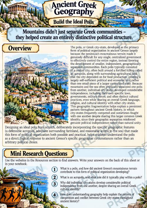
Why did Ancient Greece develop independent city-states instead of one unified political state?
In this Ancient Greek Geography Build the Ideal Polis activity, students investigate how mountains, natural barriers, farmland, and access to the sea influenced the development of the Greek polis. Students then become ancient city planners and design their own ideal polis, making geographic decisions about defence, food production, movement, trade, and relationships with neighboring communities.
What’s Included
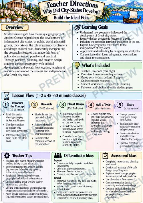
- Teacher Directions
- Overview & mini research questions
- 5-step Build the Ideal Polis group activity
- Online research resources
- Polis geography investigation
- Location & design challenge
- Ideal polis mapping activity
- Geography & independence analysis
- Full-color + black-and-white student pages
Students Will
- Explore why the polis developed in Ancient Greece
- Connect mountainous terrain to geographic separation
- Examine the importance of the acropolis, farmland & sea access
- Evaluate defence, food, trade, movement, and resources
- Compare possible locations for a successful polis
- Design and label their own ideal Greek city-state
- Identify geographic strengths, weaknesses, and compromises
- Explore relationships with neighboring poleis
- Consider trade, alliances, rivalry & competition
- Connect physical geography to political independence
- Use evidence to explain why separate city-states developed
Why Teachers Love This Resource
- No prep and classroom ready
- Designed for 1–2 45–60 minute classes
- Turns geography into an engaging city-planning challenge
- Combines research, geography, mapping & critical thinking
- Goes beyond vocabulary and simple fact recall
- Builds strong cause-and-effect reasoning
- Requires students to make and justify geographic decisions
- Connects physical geography directly to political development
- Encourages creativity while remaining evidence-based
- Works for individual, partner or group learning
- Includes color and ink-friendly B&W pages
- Fits easily into a larger Ancient Greece unit
Instead of simply memorizing that Ancient Greece was divided into city-states, students investigate why that political pattern developed—and discover how mountains, farmland, coastlines, and geographic separation helped shape the independent Greek polis.
·
This resource is also part of a bundle with 9 other resources
Questions
No questions yet.
Ask a question
Your question goes to No Prep Plans. Answers show on this page, without your name or email.
Sent. The answer will show on this page.
Reviews
No reviews yet. Buyers can review a resource from their order page.
More from No Prep Plans

Campus Happiness Index
 No Prep Plans
$3.00

Book Labels
No Prep PlansFree

Big Band & Jazz Musicians Poster Set (1930s–1950s)
No Prep Plans$3.50

FREE Geography Learning Stations Signs & Choice Cards--Reusable
No Prep PlansFree

Refugee: Author's Craft, Themes & Evidence Bundle 10 Literary Analysis Lessons
No Prep Plans$29.25

Ancient World Turning Points Bundle | 10 Research + Group Project Lessons | 6-10
No Prep Plans$29.25
Request a quote or purchase order
For schools and districts. Your request goes to No Prep Plans, who will reply to your email with a quote or invoice.
Sent. The seller will reply to your email.
Report this listing
What your notice must include
The address of the listing on Classroom Clearinghouse (for example, the /p/ link).
https://classroomclearinghouse.com/p/6fuys6bqfj
Your name, mailing address, phone number, and email.
How to report
Your name, company, mailing address, phone number, and email.
The address of each listing or store you are reporting.
https://classroomclearinghouse.com/p/6fuys6bqfj
Copyright owners can also use the DMCA notice page.
Thanks. The report is in the review queue.