
Preview: 3 of 14 pages. Scroll sideways to see more.
$3.00
In your cart. View cart
No account needed. You get a download link.
| Grade | 6th Grade to 10th Grade |
|---|---|
| Resource type | Lesson Plans |
| Subject | History |
| Format | PDF, 14 pages |
| How was this made? | Created by hand, with images from generation tools |
| Updated | 2026-10-26 |
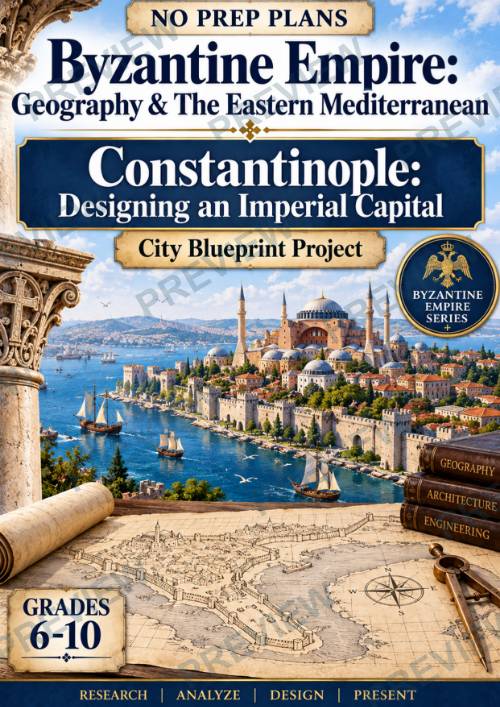
No Prep Plans | Byzantine Empire Geography: Constantinople City Blueprint
No Prep Plans | Byzantine Empire Geography: Constantinople City Blueprint Project | Grades 6–10
Turn Byzantine geography into an imperial city-planning challenge with this no-prep research and design project! Students investigate the specific geography of Constantinople and then apply what they learn to design a capital city that works with the site's physical advantages and challenges.
In the culminating City Blueprint Project, students take on the role of imperial city planners and design their own blueprint for Constantinople, considering defensive walls, harbors, water supply, the peninsula setting, and access to the Bosporus Strait.
WHAT'S INCLUDED
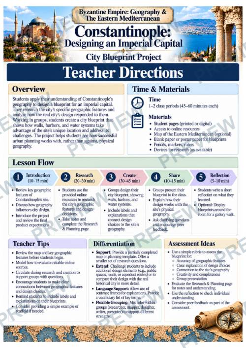
- Teacher Directions
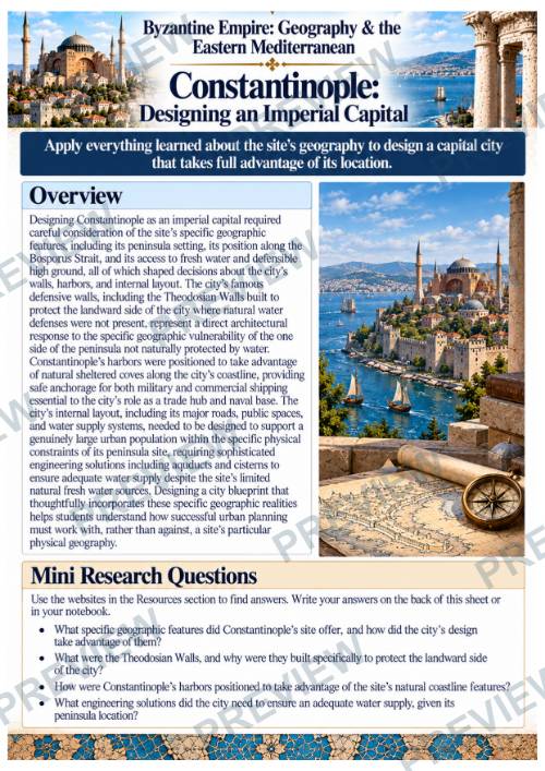
- Overview + Mini Research Questions
- 5-Step Group Activity: City Blueprint Project
- Online Research Resources
- Site Analysis: Designing for Constantinople
- Imperial City Planning Board
- City Blueprint: Constantinople
- Color + Black-and-White Student Pages
STUDENTS WILL
- Investigate Constantinople's unique peninsula setting
- Analyze the advantages of access to the Bosporus Strait and surrounding waterways
- Examine the city's vulnerable landward side
- Consider how geography influenced the placement of defensive walls
- Analyze how coastal geography affected harbor locations
- Investigate the challenge of supplying fresh water to a large urban population
- Consider the use of aqueducts and cisterns
- Connect geographic conditions to specific urban-planning decisions
- Compare their design choices with solutions used in historical Constantinople
- Design a complete Constantinople City Blueprint
- Support their design decisions with geographic evidence
FROM GEOGRAPHY TO CITY DESIGN
This project moves students beyond identifying Constantinople's geographic advantages. Students must determine what those geographic conditions would actually mean for someone responsible for designing and protecting an imperial capital.
PERFECT FOR
- Byzantine Empire Units
- Constantinople
- Medieval World History
- World Geography
- Eastern Mediterranean Geography
- Human-Environment Interaction
- Historical Geography
- Urban Geography
- Map & Spatial Thinking Skills
- STEM + History Connections
- Research & Inquiry
- Project-Based Learning
FOLLOW & SAVE 10%
·
This resource is also part of a bundle with 9 other resources
Questions
No questions yet.
Ask a question
Your question goes to No Prep Plans. Answers show on this page, without your name or email.
Sent. The answer will show on this page.
Reviews
No reviews yet. Buyers can review a resource from their order page.
More from No Prep Plans

Campus Happiness Index
 No Prep Plans
$3.00

Book Labels
No Prep PlansFree

Big Band & Jazz Musicians Poster Set (1930s–1950s)
No Prep Plans$3.50

FREE Geography Learning Stations Signs & Choice Cards--Reusable
No Prep PlansFree

Refugee: Author's Craft, Themes & Evidence Bundle 10 Literary Analysis Lessons
No Prep Plans$29.25

Ancient World Turning Points Bundle | 10 Research + Group Project Lessons | 6-10
No Prep Plans$29.25
Request a quote or purchase order
For schools and districts. Your request goes to No Prep Plans, who will reply to your email with a quote or invoice.
Sent. The seller will reply to your email.
Report this listing
What your notice must include
The address of the listing on Classroom Clearinghouse (for example, the /p/ link).
https://classroomclearinghouse.com/p/4h5k53ye4g
Your name, mailing address, phone number, and email.
How to report
Your name, company, mailing address, phone number, and email.
The address of each listing or store you are reporting.
https://classroomclearinghouse.com/p/4h5k53ye4g
Copyright owners can also use the DMCA notice page.
Thanks. The report is in the review queue.