
Preview: 3 of 14 pages. Scroll sideways to see more.
$3.00
In your cart. View cart
No account needed. You get a download link.
| Grade | 6th Grade to 8th Grade |
|---|---|
| Resource type | Projects |
| Subject | History |
| Format | PDF, 14 pages |
| How was this made? | Created by hand, with images from generation tools |
| Updated | 2026-10-26 |
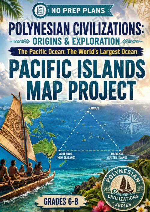
Polynesian Civilizations: Origins & Exploration The Pacific Ocean
Polynesian Civilizations: Origins & Exploration The Pacific Ocean: The World's Largest Ocean — Pacific Islands Map Project
Grades 6–8 | No Prep | Research + Geography + Map Project
Help students grasp the enormous scale of the Pacific Ocean and the remarkable reach of Polynesian exploration with this engaging Pacific Islands Map Project!
Students investigate the Pacific Ocean, the Polynesian Triangle, different types of Pacific islands, and the living peoples and cultures of the region. They then use their research to plan and create a map that demonstrates both the geography of the Pacific and the extraordinary distances crossed by Polynesian voyagers.
Rather than simply labeling locations, students are challenged to interpret geographic evidence, recognize patterns, consider the effects of distance and geography, and explain what their map reveals about Polynesian settlement.
What's Included
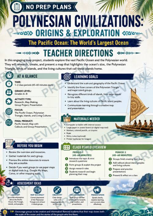
- Teacher Directions for 1–2 class periods
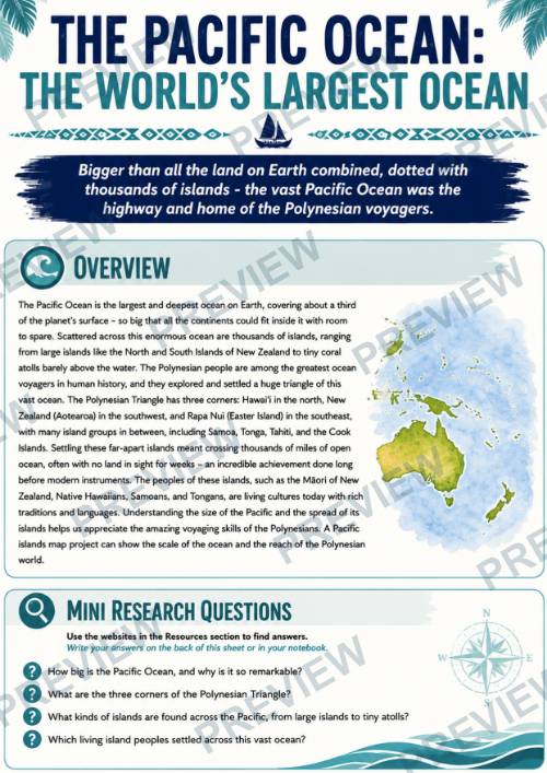
- Pacific Ocean overview
- Mini Research Questions
- 5-step Pacific Islands Map Project
- Curated online research resources
- Understanding the Research student organizer
- Planning Our Pacific Islands Map worksheet
- Digging Deeper: What the Map Reveals analysis worksheet
- Full-color student pages
- Printer-friendly black-and-white student pages
Students Explore
- The immense size and scale of the Pacific Ocean
- The three corners of the Polynesian Triangle
- Hawai‘i, Aotearoa/New Zealand, and Rapa Nui/Easter Island
- Large/high islands, small islands, and coral atolls
- Pacific island groups and their geographic locations
- Living Polynesian peoples and cultures
- The relationship between geography, distance, voyaging, and settlement
- How maps communicate information and influence what viewers notice
Perfect For
Middle school World History, Geography, Ancient Civilizations, Pacific Studies, Polynesian Civilizations, inquiry-based learning, collaborative projects, enrichment, and interdisciplinary social studies classrooms.
Grades: 6–8
Time: 1–2 class periods of approximately 45–60 minutes
Format: Research, mapmaking, collaborative inquiry, analysis, and presentation
Give students a visual sense of just how vast the Pacific really is—and help them understand why Polynesian exploration and settlement remain such remarkable achievements in human history.
·
This resource is also part of a bundle with 9 other resources
Questions
No questions yet.
Ask a question
Your question goes to No Prep Plans. Answers show on this page, without your name or email.
Sent. The answer will show on this page.
Reviews
No reviews yet. Buyers can review a resource from their order page.
More from No Prep Plans

Campus Happiness Index
 No Prep Plans
$3.00

Book Labels
No Prep PlansFree

Big Band & Jazz Musicians Poster Set (1930s–1950s)
No Prep Plans$3.50

FREE Geography Learning Stations Signs & Choice Cards--Reusable
No Prep PlansFree

Refugee: Author's Craft, Themes & Evidence Bundle 10 Literary Analysis Lessons
No Prep Plans$29.25

Ancient World Turning Points Bundle | 10 Research + Group Project Lessons | 6-10
No Prep Plans$29.25
Request a quote or purchase order
For schools and districts. Your request goes to No Prep Plans, who will reply to your email with a quote or invoice.
Sent. The seller will reply to your email.
Report this listing
What your notice must include
The address of the listing on Classroom Clearinghouse (for example, the /p/ link).
https://classroomclearinghouse.com/p/332ub37bb6
Your name, mailing address, phone number, and email.
How to report
Your name, company, mailing address, phone number, and email.
The address of each listing or store you are reporting.
https://classroomclearinghouse.com/p/332ub37bb6
Copyright owners can also use the DMCA notice page.
Thanks. The report is in the review queue.